May 30, 2025
I’m back in Sydney for a week to see my mother. While in the Central Business District in the center of Sydney, on a whim, I decided to visit Coogee Beach.
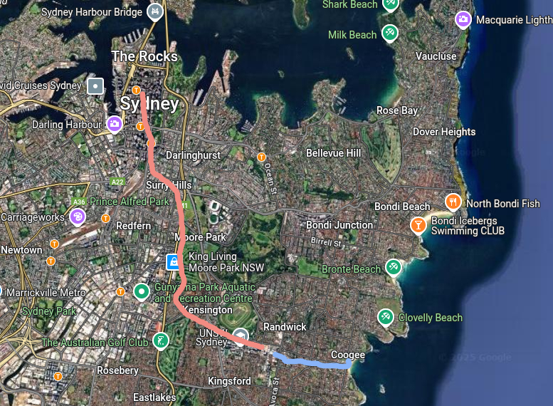
The route, courtesy of Google Maps, goes by light rail (tram) to Randwick where the tram lines end. Then I would switch to a bus (and a color on the map) to get to Coogee Beach.
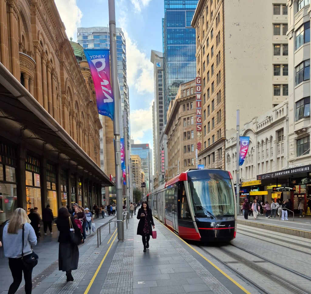
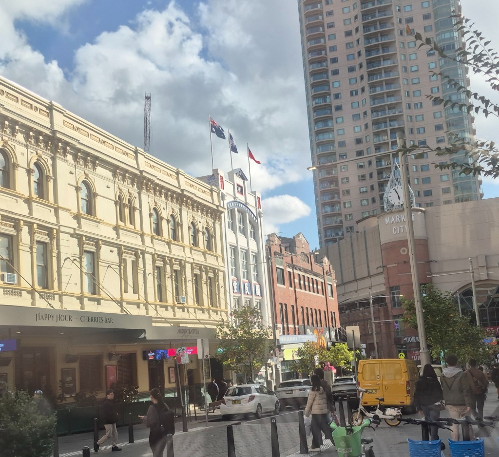
The light rail (tram) service, outside the Queen Victoria Building on George Street. I estimated the temperature was in the high teens (18 – 19 degrees), warming up to 20 – 21 degrees. George Street used to be full of traffic and noise, with the roar of engines and blare of horns; now it’s quiet and almost serene with the low rumbling of the tram wheels.
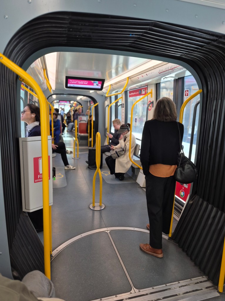
On the tram, looking back. Sydney has a growing light rail network; there is a map here.
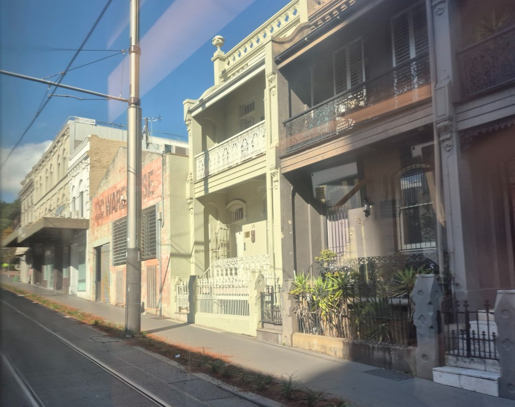
We went through the center of the city, past Central train station (the photographs weren’t usable) and then Surrey Hills. Above is a row of late 19th century terrace housing, quite common in a ring around the city. I lived in quite a few of these terrace houses during my time at Sydney University.

I changed trams at Moore Park (above), convenient for the Sydney Cricket Ground, out of sight beyond the trees.

Across Anzac Parade there are Sydney Girls’ and Sydney Boys’ High, both selective schools. The enormous trees are Moreton Bay figs:
“Ficus macrophylla, commonly known as the Moreton Bay fig … native to eastern Australia … called a strangler fig because seed germination usually takes place in the canopy of a host tree, where the seedling lives as an epiphyte until its roots establish contact with the ground, when it enlarges and strangles its host, eventually becoming a freestanding tree by itself.”
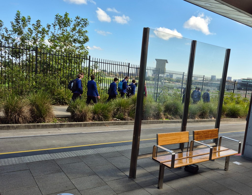
I boarded a different tram and took it past the vast Royal Randwick racecourse, just visible in the distance, overlooked by the member’s stands. The school-aged boys in the foreground are from some private school.

The tram passed the University of New South Wales (above). I spent almost seven years there, studying for a Masters by research. It should only take two years, but I was disabled from the stroke. UNSW is part of the prestigious “Group of Eight” research universities in Australia.

Another view, this time coming back from Coogee Beach.

We rumbled along past the Prince of Wales Hospital:
“The Prince of Wales Hospital is a 440-bed major public teaching hospital located in Sydney’s eastern suburb of Randwick, providing a full range of hospital services to the people of New South Wales, Australia. The hospital has strong ties to the adjacent University of New South Wales. The Prince of Wales Hospital shares the Randwick Hospitals’ Campus site with the Sydney Children’s Hospital and the Royal Hospital for Women, as well as the Prince of Wales Private Hospital”

Shortly we were at the Randwick terminus at Five Ways intersection.
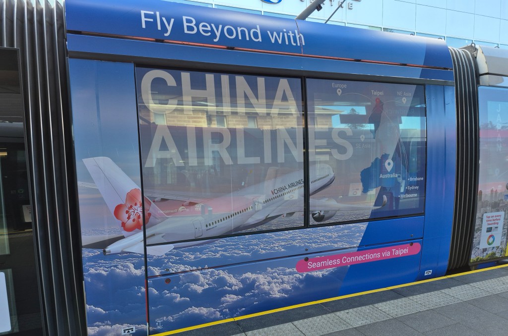
Getting off I noticed an advertisement for China Airlines, the same airline that I had been using to get directly to Taipei. Of course, people would assume it is a Chinese airline – it’s in the name! In fact China Airlines is a Taiwanese airline, the flag carrier for Taiwan, and not a Chinese airline at all. There is a totally different airline called Air China that is not associated with China Airlines at all.
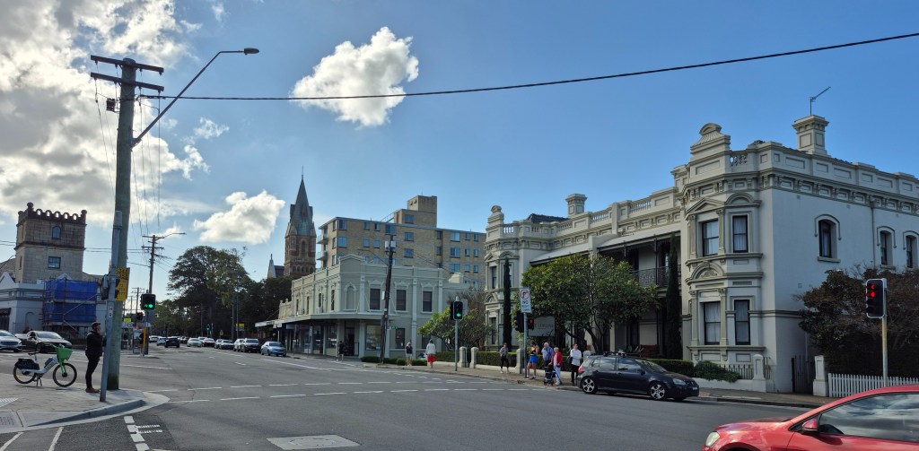
A view of Randwick from the station looking north.

I walked a hundred meters and saw a bus stop – and a view of the sea!
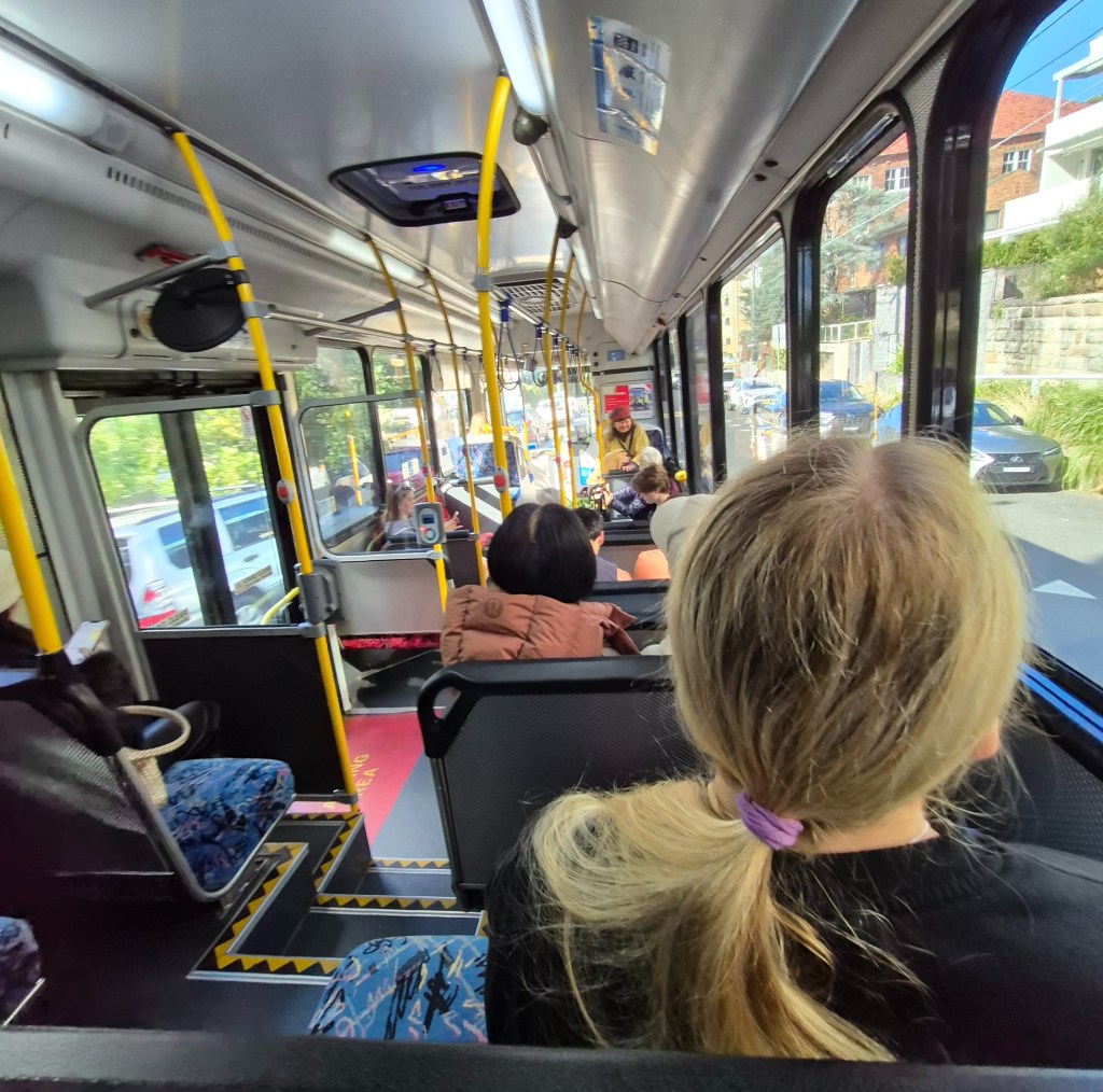
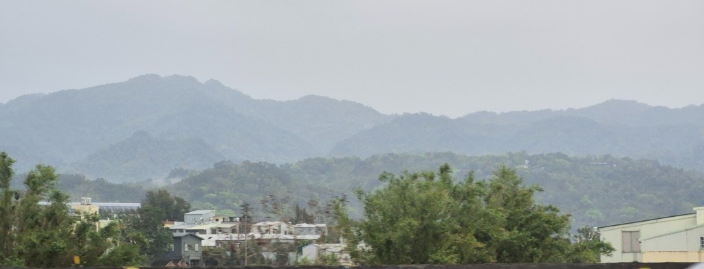
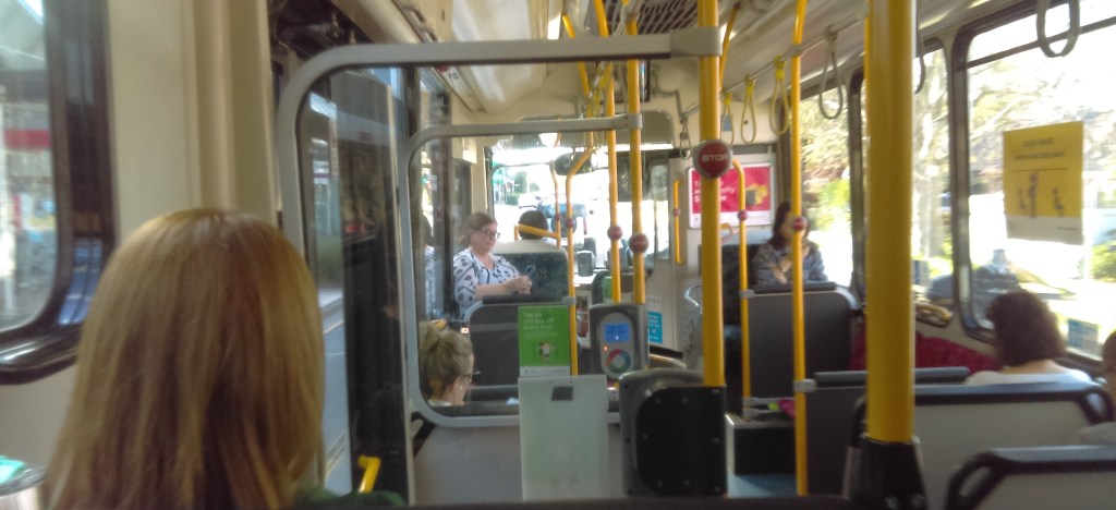
The 370 bus came in a few minutes. This is a photograph from my seat.
Quite a nice view out the windows.

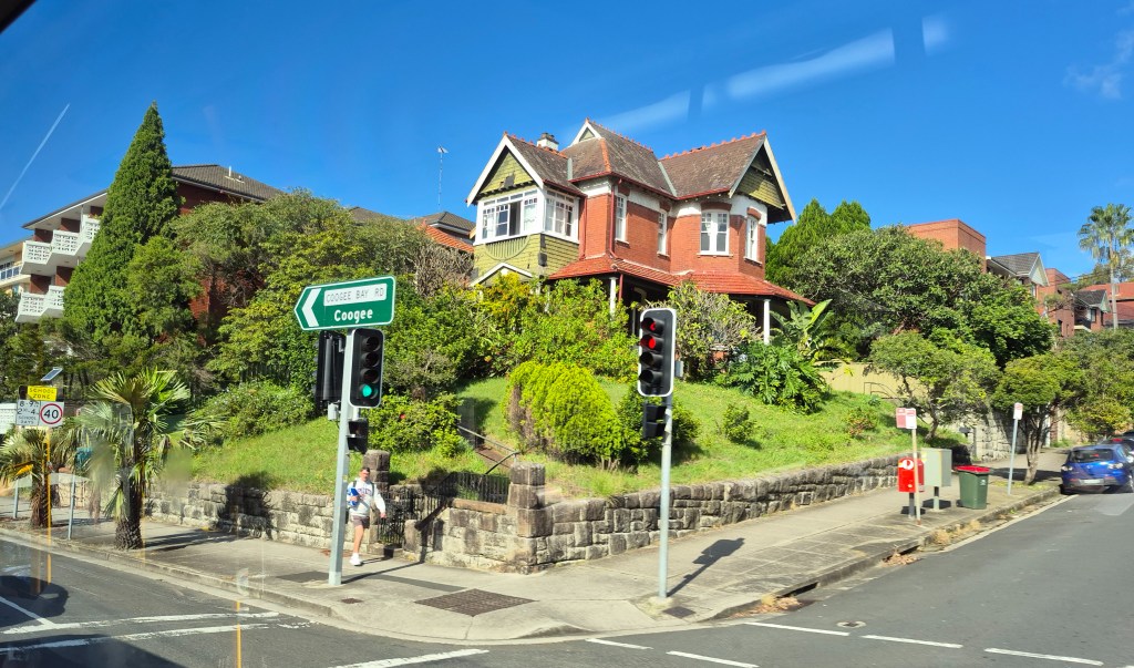
The 370 bus deposited me only a hundred meters from Coogee Beach. What a view! This was taken looking south.

And this photo was taken looking north at around the same spot.
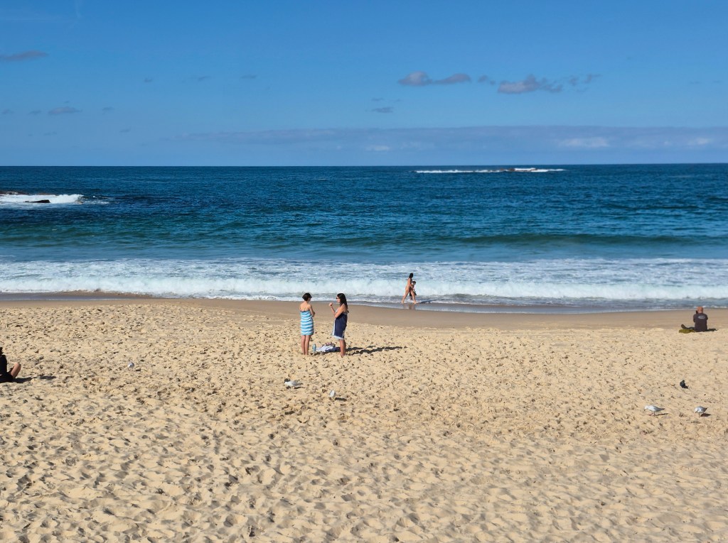
Next stop: South America.

Another view of the beach. I went a little crazy with my photography – but with these views, who could blame me?
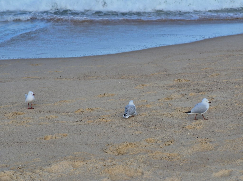
A close-up of some seagulls.

There was a Aboriginal fair on, with amplified voices in the distance.

A man with a didgeridoo!
“The didgeridoo … also spelt didjeridu, among other variants, is a wind instrument, played with vibrating lips to produce a continuous drone while using a special breathing technique called circular breathing. The didgeridoo was developed by Aboriginal peoples of northern Australia at least 1,000 years ago, and is now in use around the world, though still most strongly associated with Indigenous Australian music.”
Here is a YouTube clip of a didgeridoo being played. In the early 90’s I used to own a didgeridoo, and patiently developed the knack of circular breathing.

In the center of this photo are tall (3 meters) curved pipes in a ring. When you get out of the sea, you are all salty, so the purpose of the pipes is to wash yourself off.

I ate at Chish n Fips, less than 100 meters from the beach, a casual place with cheap food. I naturally ordered fish and chips with a side salad; it came to $AUD17.50 – about 350元. Unfortunately my photograph of my meal was unusable.
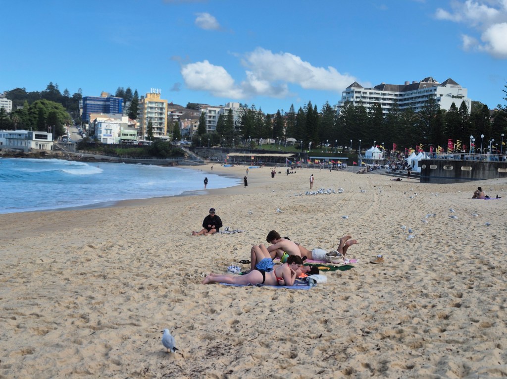
Afterwards I headed to the headland north of Coogee Beach. On the way I took this photo of some sunbathers.
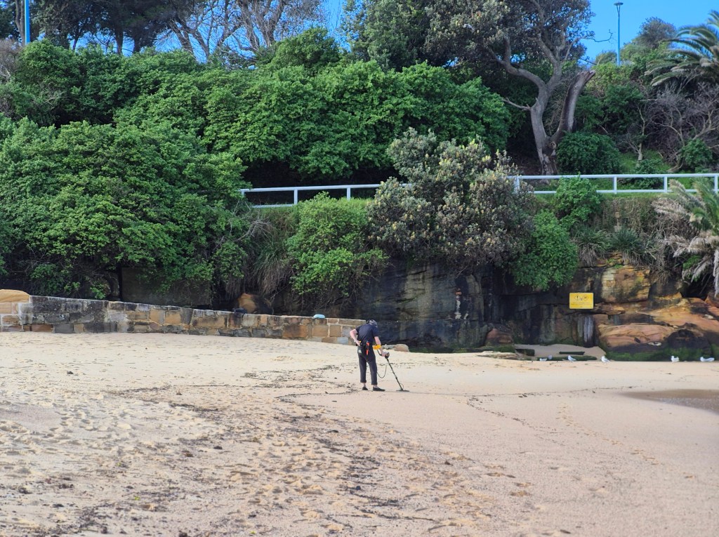
There was a woman using a metal detector on the beach, systematically swinging it from side to side as she walked along.
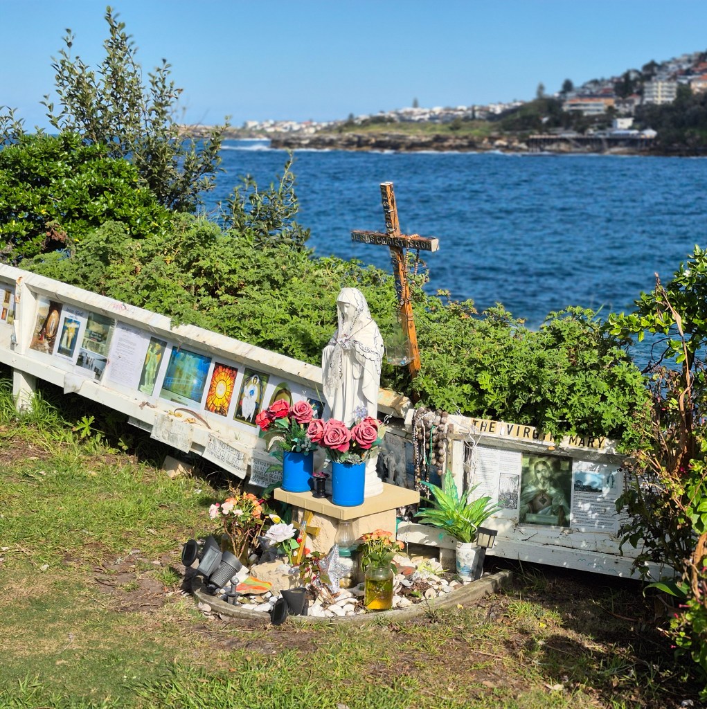
On my way up I passed this little site, sacred to the Virgin Mary – presumably a Catholic religious site. It’s been there for years, since I first came.
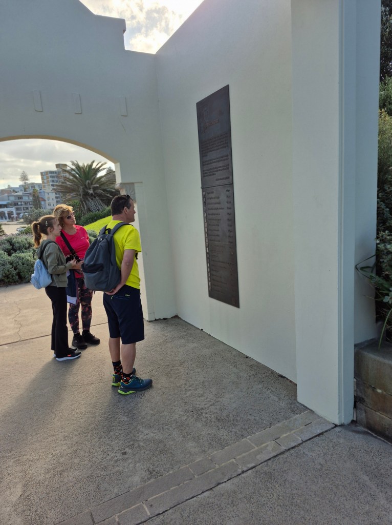
Up on the headland there is a memorial to the 2002 Bali bombings. A plaque recounts the horror, followed by a list by name of those in the local area who perished.
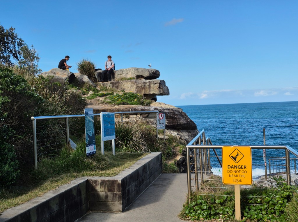
This photo is a neat juxtaposition, contrasting the danger sign with the two (presumably) tourists perched high on the rocks, well outside the safe zone, with nothing but a vertical drop separating the two from the crashing waves.
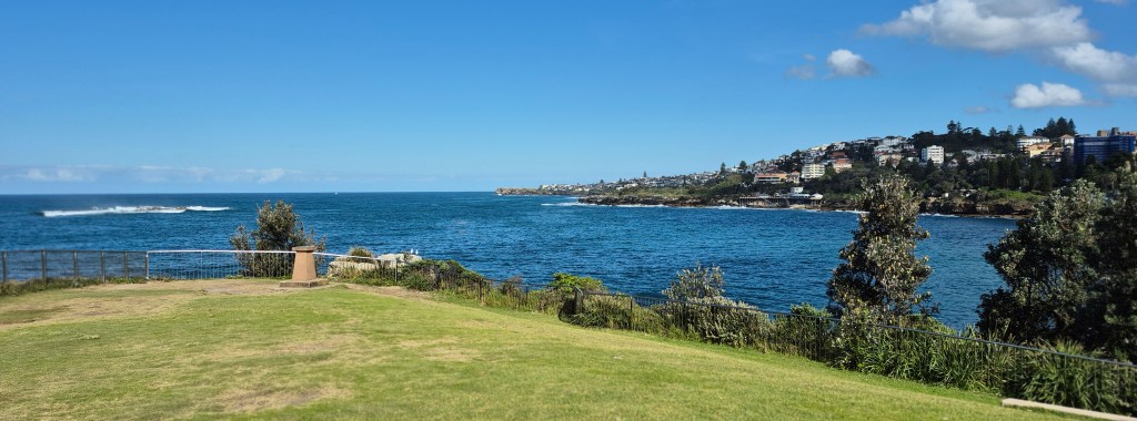
The view from the headland is even greater than the view from the beach. In this photo I’m looking at the headlands south of Sydney.

And this is a photo looking north, to Gordon’s Bay and Clovelly. What a view!

A photo of Coogee Beach from up on the headland.
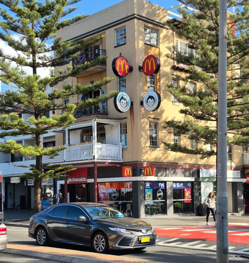
Coming down off the headland and walking to the bus to take me home, I saw the Mad Monkey Hostel.

I idly thought, What if I spent a few nights in the Mad Monkey Hostel, swimming at the beach and lazing around the cafes? So I looked at Mad Monkey Hostel online. It’s about $AUS65 per night for a four-bed dormitory in low season – a little expensive, about the same price as the hostels in the city center. Accommodation in Sydney is not cheap, especially when next to a beach.

I rushed to catch the 370 bus. This photo was taken as we left the Coogee shopping center.
On the tram back in central Sydney, atop a white building, I snapped these flags, and below them Chinese characters. That’s the home of the Chinese Nationalist Party of Australasia, a Taiwanese outpost. I covered this in a webpage.
Then I went back to Northbridge to write up my day.


