May 22, 2026
My Mandarin studies at NTNU’s MTC were interrupted: the staff refused to grant me another visa, saying I had been studying there for far too long. So I switched to the Chinese Cultural University’s Mandarin Learning Centre. I actually find MLC better than MTC. In MLC I had one-to-one classes with a Mandarin teacher, but only an hour a day, as I tire easily. I paused my classes while I went back to Sydney to see my family, but before that, I squeezed in a day trip to Baimiwong Fort.
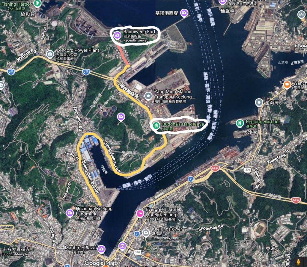
Baimiwong Fort is near Keelung. I arrived on the train at Keelung Railway Station. In the Google Map above, Keelung Railway Station is on the bottom left, above Maritime Plaza, at the start of the yellow line. I took the bus (the yellow line) several kilometers, then walked (the red line) uphill to Baimiwong Fort (the white oval). Then I retraced my steps to Fairy Cave (unmarked) and Buddha’s Hand Cave (the white oval again). Finally I took the bus back to Keelung Railway Station and then home.
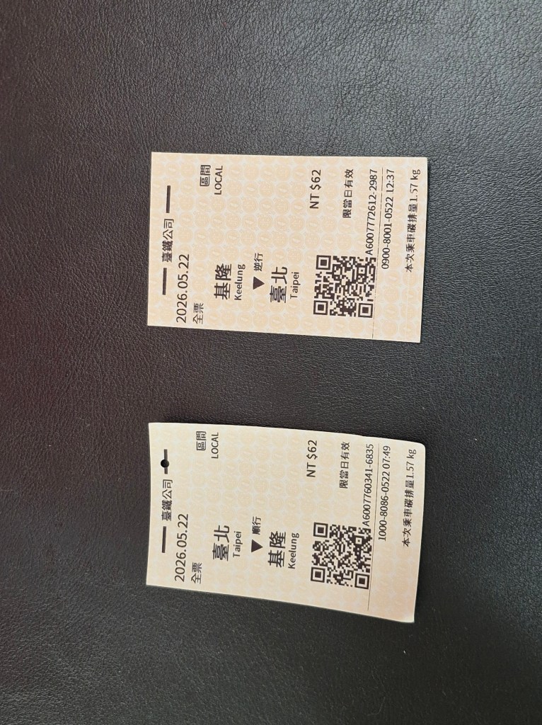
My train tickets, taken after my trip. The distance from Taipei main station to Keelung railway station is 27 kilometres, and cost me 62 NTD (about $AUD 3) one way.
That week was the start of the hot weather. That day the temperature was in the low 30s Centigrade, but the humidity was oppressive; real tropical weather, like we get only a few days in Sydney.
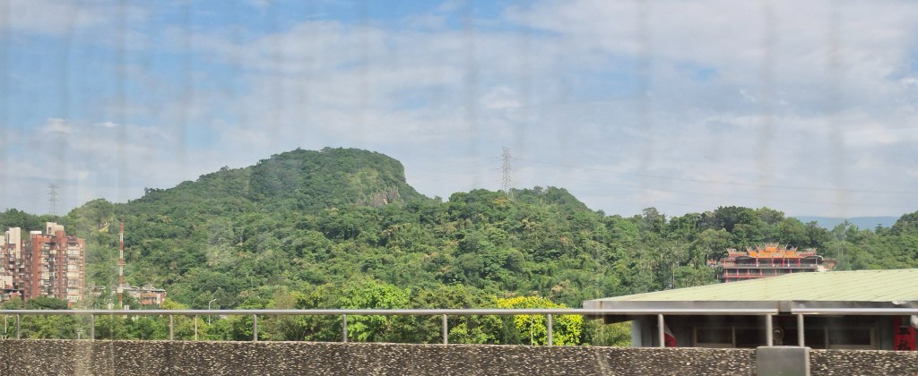
Mountain scenery, on my way to Keelung. The window that I shot through was dirty, but the air inside the carriage was cooler.
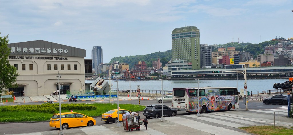
I disembarked the train at Keelung Railway Station (above, taken on the north side).
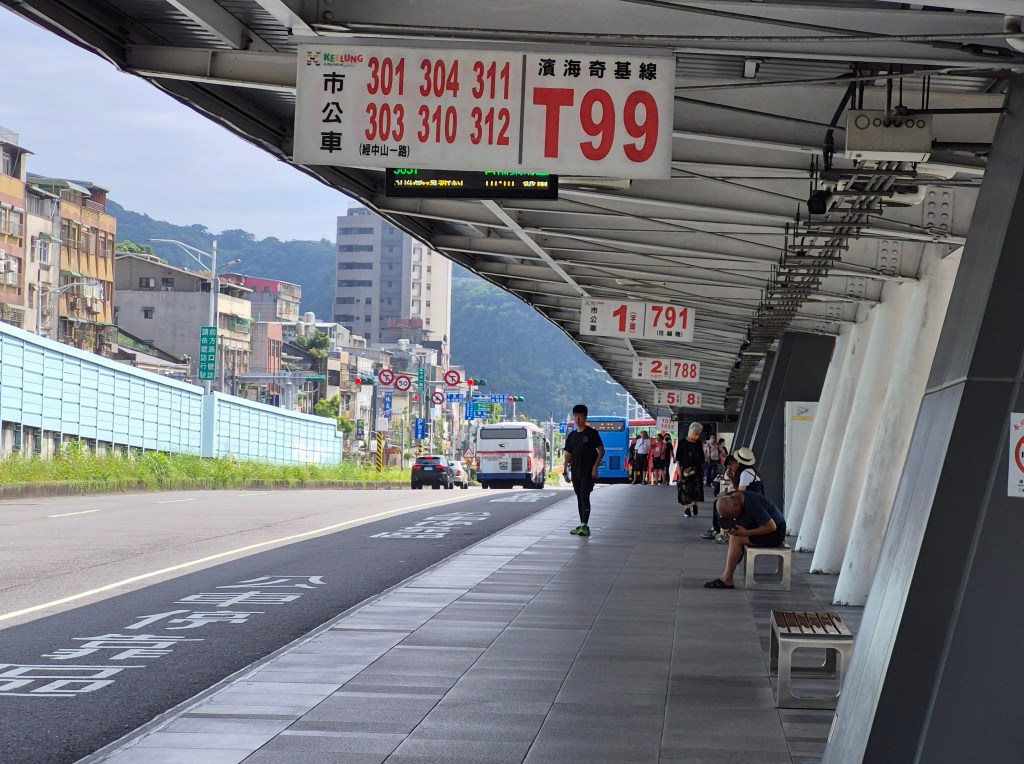
The first step was to find a bus; Baimiwong Fort is several kilometers away, too far to walk. Fortunately, right on top of the station is the Keelung Bus Station, which serves both long-distance and local buses (above). I found a 301 bus that drops me off not far away.
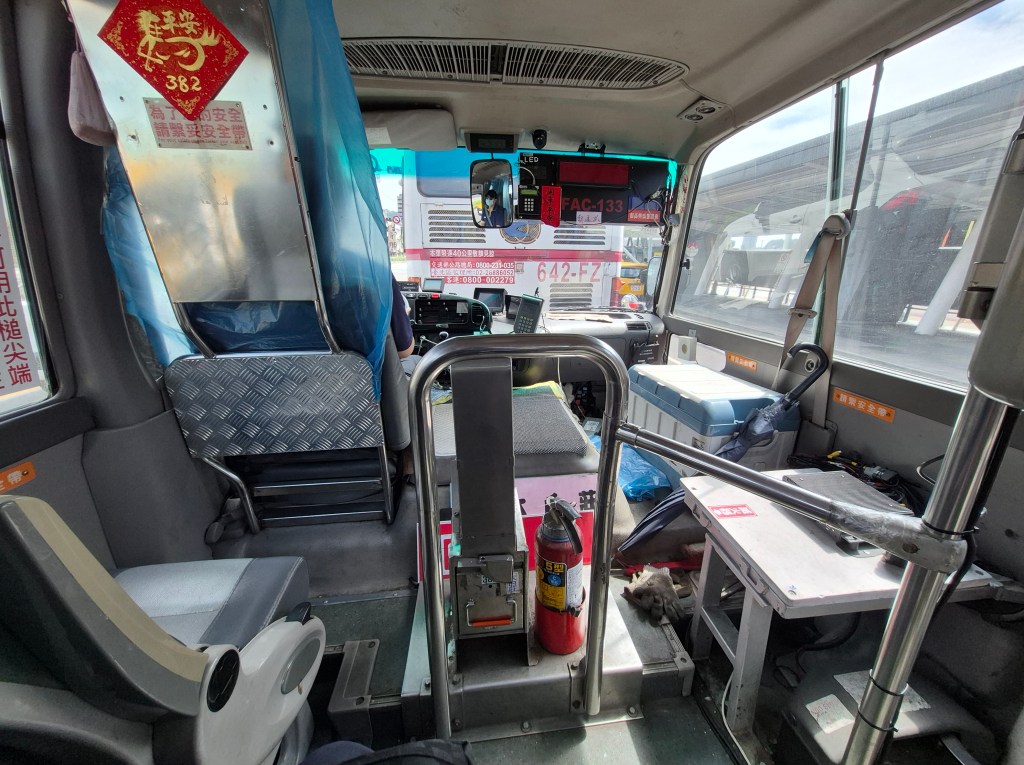
The 301 bus came in seven minutes; in fact I never waited too long for it. The bus itself turned out to be a minibus like I catch from International House. The pic above is of the forward part of the bus.
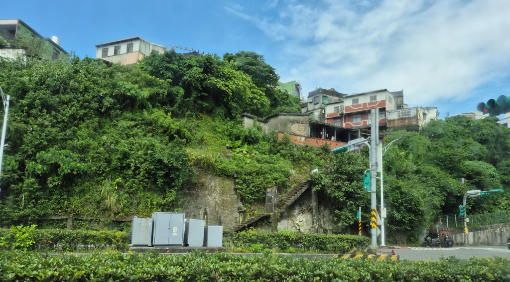
View from the bus; quite hilly.
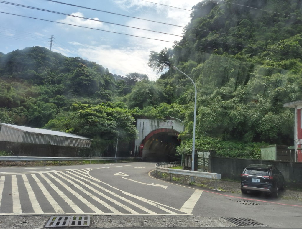
We passed a tunnel, only a few hundred meters long. The photo above shows the west entrance…
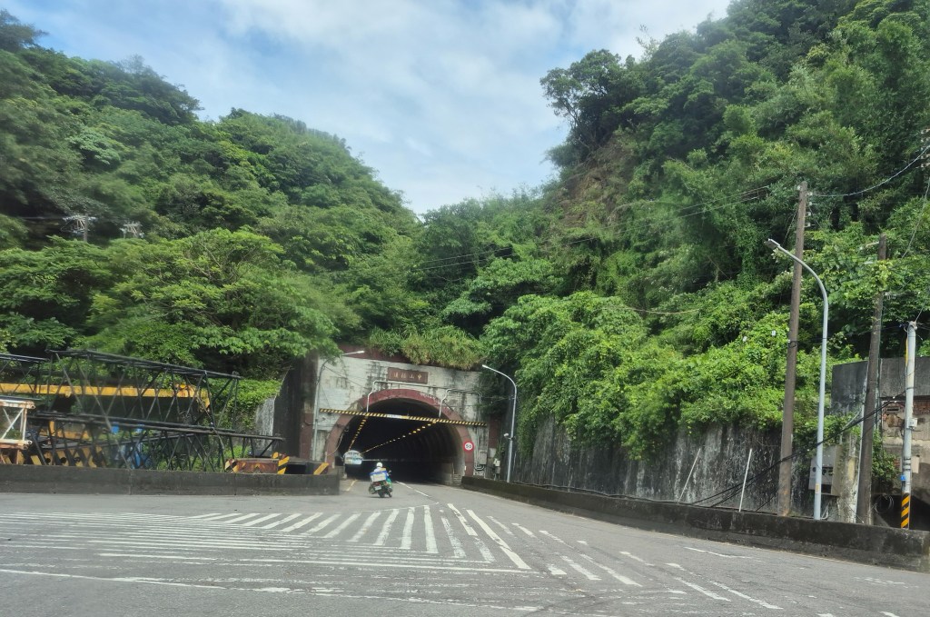
… and the east entrance. This was probably the Zhongshan Tunnel (中山隧道).
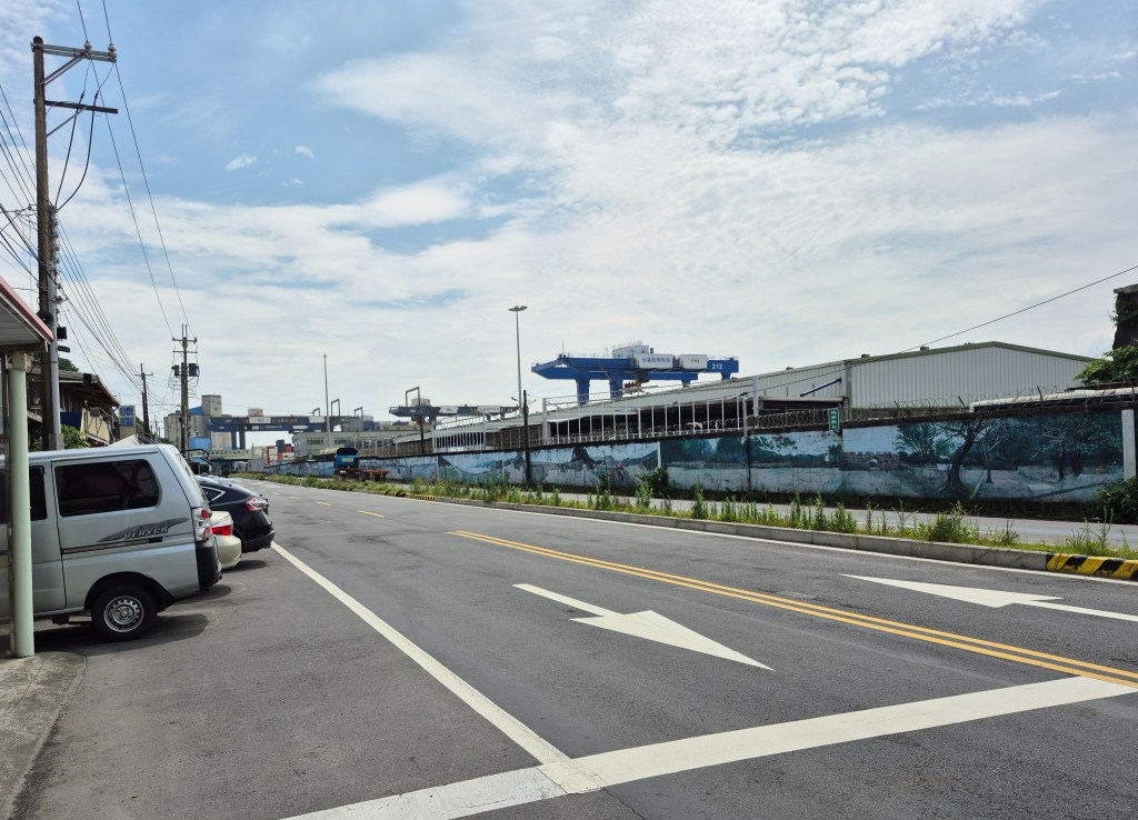
I got off the bus at the end of its journey. The wide road looked very commercial and ugly, with wharves stretching into the distance. Is it really the entrance to Baimiwong Fort?
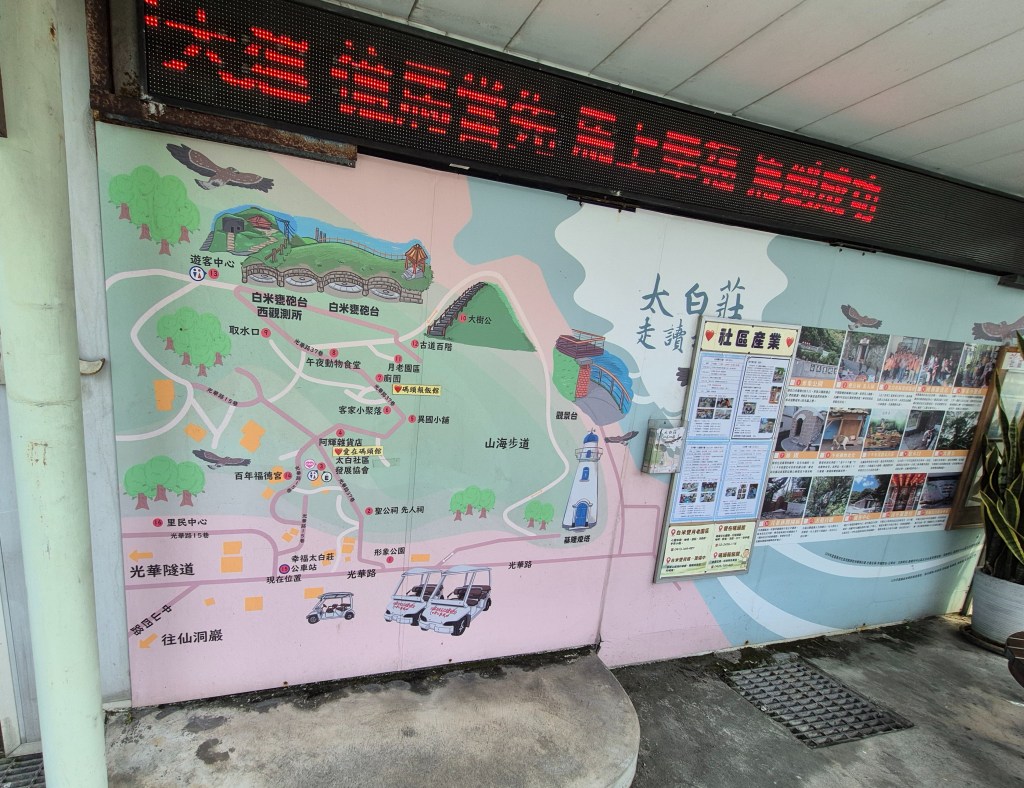
Turns out it is. I noticed a few meters away a bus stop with one wall covered in a map (above). I located my position (bottom left of the map) and a picture of Baimiwong Fort (top of the map, near what I assume is the eagle, the emblem of Keelung). It looked to be about 15 minutes’ walk.
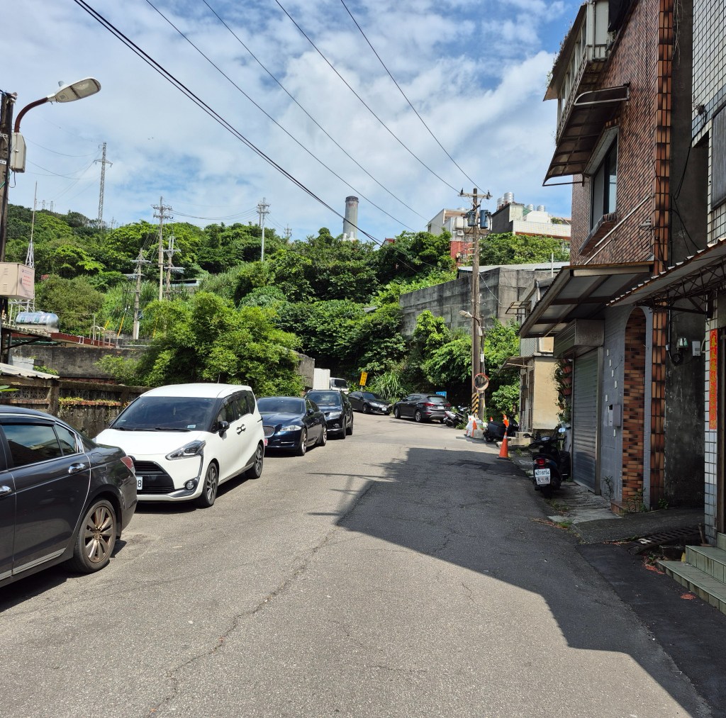
So I started to climb.
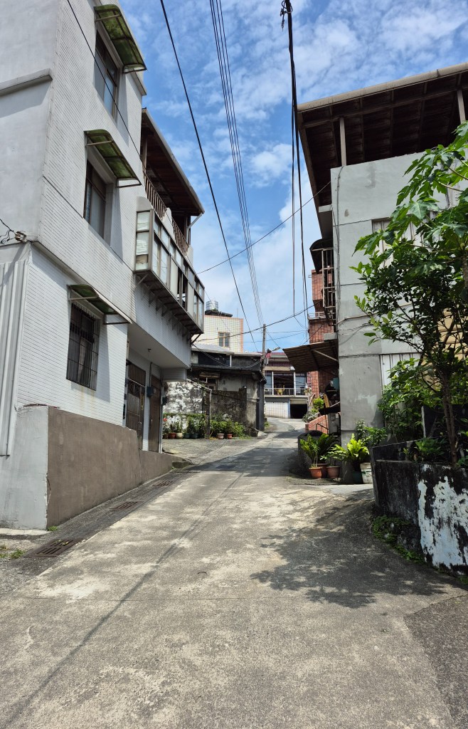
It was hard going, mostly because it was so steep. I took a direct path, cutting through narrow paths (above) instead of the road.
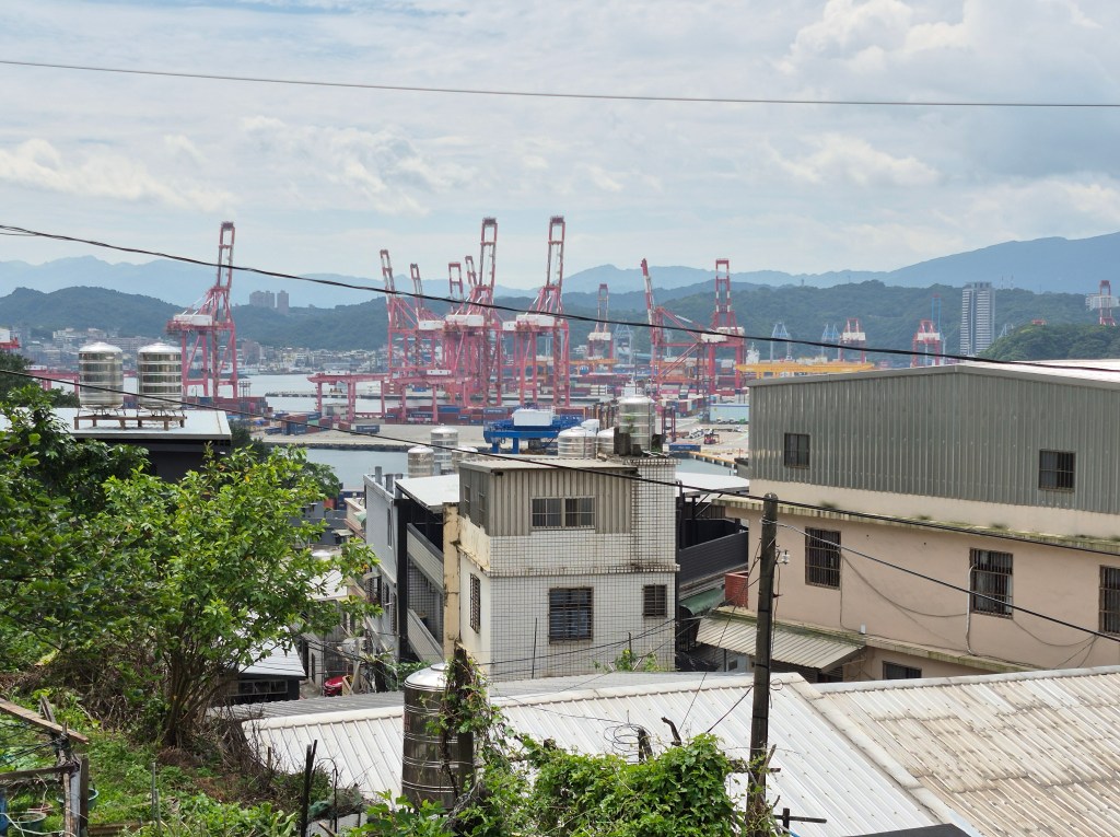
Going up I caught a glimpse of quite nice views (above).
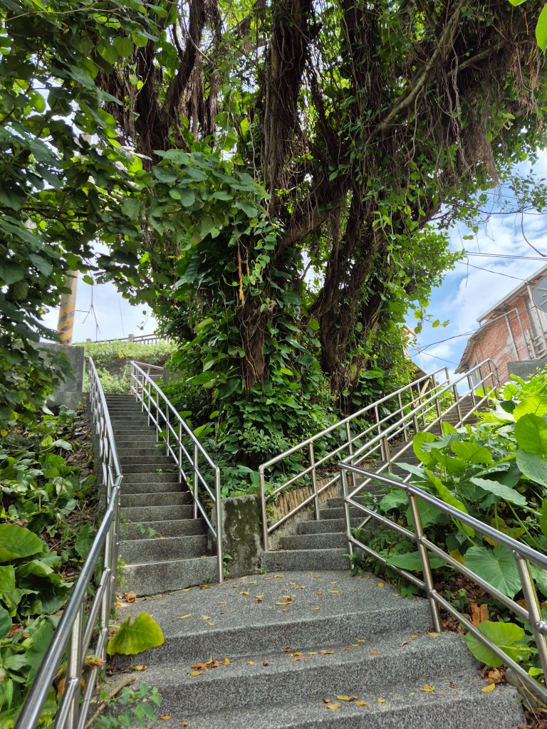
I climbed and climbed, my clothes wet with sweat.
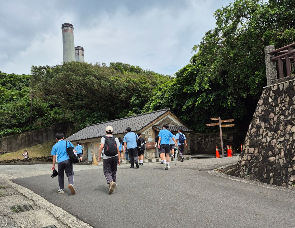
Finally I reached the Baimiwong Fort Visitors Centre (above), just near the Baimiwong Fort. The raised embankment to the right in the photo is the car park. There was a school excursion happening.
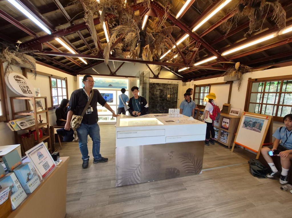
Inside the Baimiwong Fort Visitors Centre. The teacher in the photo gave me a pamphlet – very nice of him!
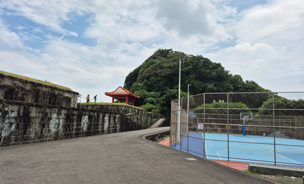
A short distance away was Baimiweng Fort. The above photo was just as you arrive at the fort. Out of shot to the right was a spectacular view of the port and surrounding mountains.
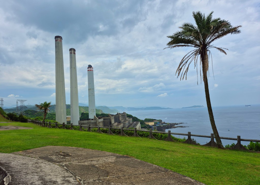
I climbed narrow stairs to the top of the fort. What a view!
Wikipedia says “The Baimiweng Fort (traditional Chinese: 白米甕砲台; simplified Chinese: 白米瓮炮台; pinyin: Báimǐwèng Pàotái), also known as Holland Castle or Gun Emplacement of Fort Holland …The fort was probably constructed during the Dutch Formosa and Spanish Formosa period. It was once occupied by the French Third Republic army during the Sino-French War. The Japanese government remodeled the fort to become as [sic] what it is today”.
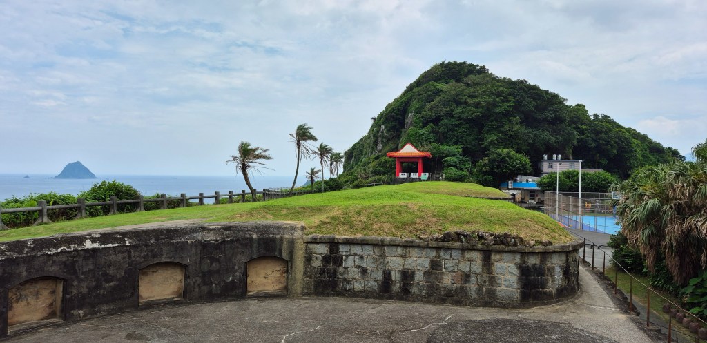
The view to the right. Centre-right is Baimiweng Mountain
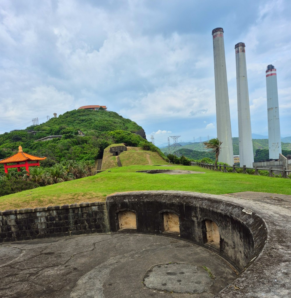
The view to the left.
TripAdvisor says “If you like to catch a glimpse into the past , this 115-year old, rectangular fort would bring history back to life for you ! Although the fort isn’t very big, it overlooks the gorgeous East China Sea – thus, offering its visitors many magnificent views. Baimiwong fort was first built by the Chinese during the Qing Dynasty to safeguard its north Western shore from foreign invaders as enemy ships can be easily spotted from its strategic location . It was later used by the Japanese army as their military base during the Russo-Japanese war. There’s nothing much to do here apart from exploring the grounds. After checking out the remains of this historic site – the 3 gun emplacements, the dome shaped guard post, etc – you can sit on the bench by the edge of the cliff to enjoy the sea breeze as you watch large cargo ships sail to and fro the harbour : and, this by itself can be quite an absorbing activity . There is also a huge power plant with 3 tall chimneys on the left of the fort . If this visit was the last itinerary for the day, I would have stayed to enjoy the boat and harbour lights : and to bedazzled by the stars above ! ☺️”
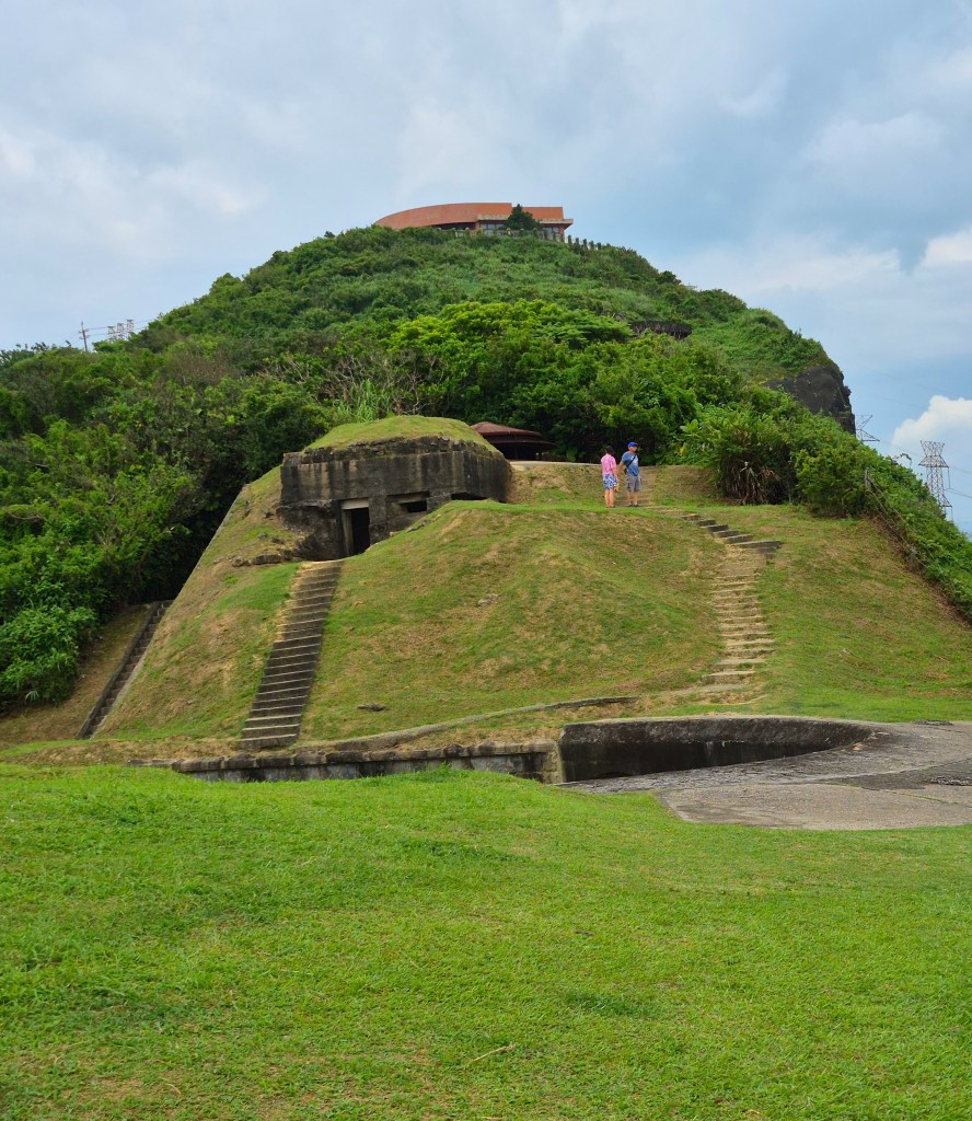
A zoomed-in view of what I think is the observation station.
Keelung For A Walk says “The forts at Baimiweng were used to monitor the west part of Keelung fort called Holland town. According to town records, it was built around 300 years ago during the Dutch Formosa years, while other accounts claim it was built during Spanish Formosa. While its origins might be uncertain, one thing’s for sure – the fort’s history is certainly longstanding. … Today, the function of Baimiweng Fort has changed. In place of the many soldiers who crowd the fort in the past, tourists now flock to the fort for its scenic views. Visitors can head to the ruins at top of the hill to get a good glimpse of Keelung’s landscape and the surrounding sea. A rectangle-shaped gun emplacement faces the sea and sits within the fort. A control center and an observation station flanks the emplacement, and both spots are a great vantage point to overlook Keelung Harbour. Despite its dark past, fort is now an open air playground which families visit frequently and where kids run around freely.”
Drone footage of Baimiweng Fort and surrounding areas, only a few minutes long. Good for giving you an impression of how mountainous this area is – and how spectacular.
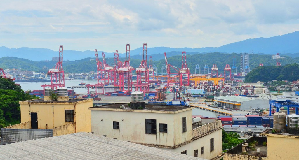
A great view over the port, looking south-east, taken near the basketball court.
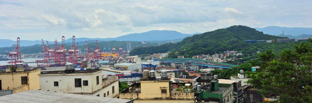
A zoomed-out shot including the same view as in the previous photo. Truly great scenery!
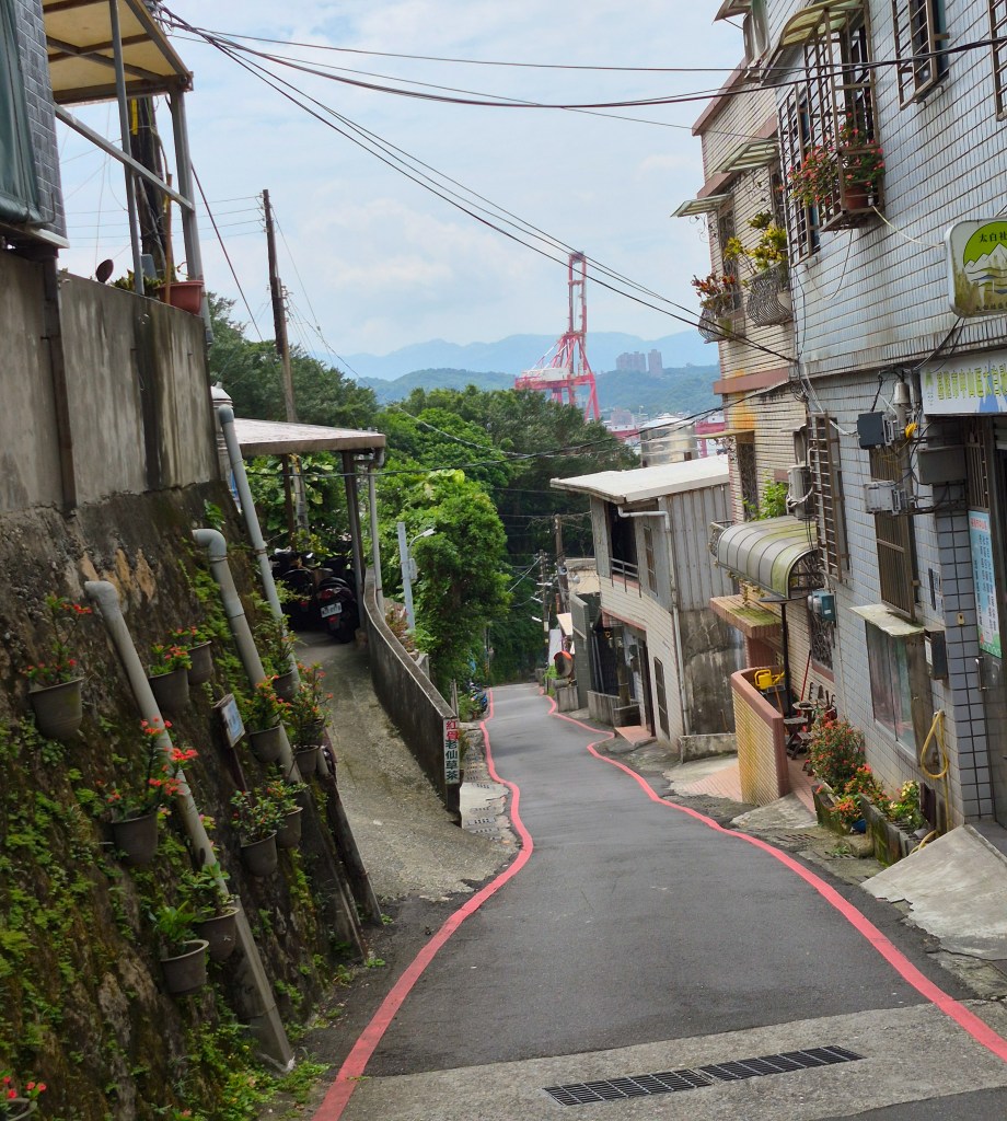
I retraced my steps, but along the road this time.
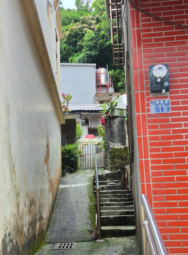
The lanes on this street were very narrow (above).
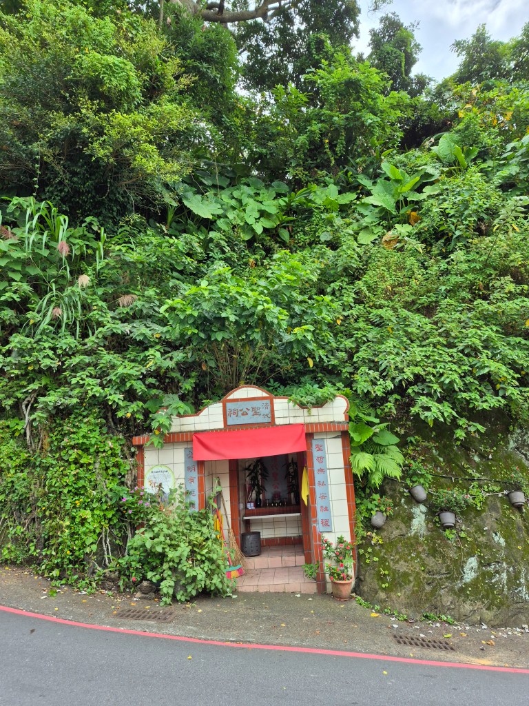
There were shrines, such as photographed above.
I came out onto the main road near that bus stop, and there was a bus conveniently just pulling up. I caught the bus to “Fairy Grotto” bus stop a kilometer or so away.
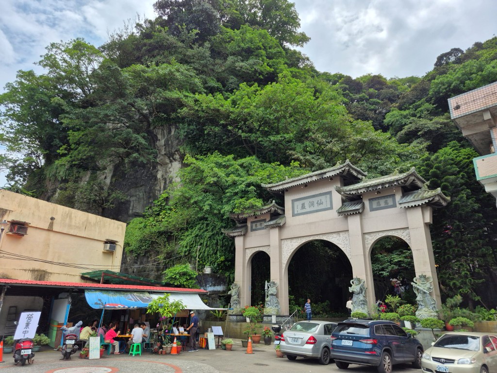
The view from the bus stop.
Wikipedia says “Xian Dong Yan (仙洞巖…), literally Immortal cave, is a natural sea cave …The cave was a shrine and resting place for fishermen during Qing dynasty period and was converted into a Buddhist Temple during the Japanese colonial period.”
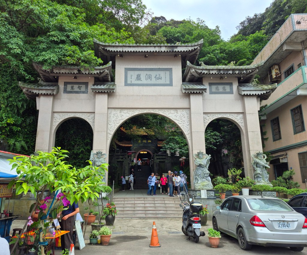
A close-up view of the temple gate.
Keelung City Government says “Xian Dong Yan is the largest sea cave in the Keelung area, formed by natural coastal erosion. Legend has it that a celestial being once attained enlightenment here, which is how the cave got its name.”
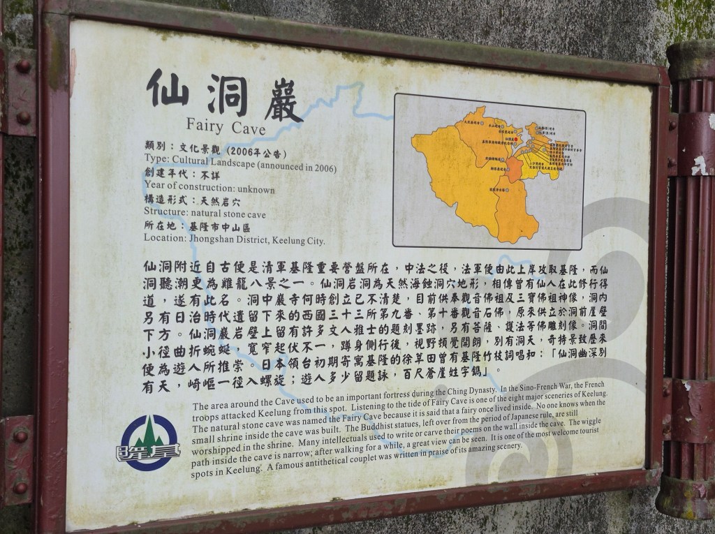
I noticed a placard (above) titled “Fairy Cave” giving more detail. It says the invading French military invaded Keelung from this location.
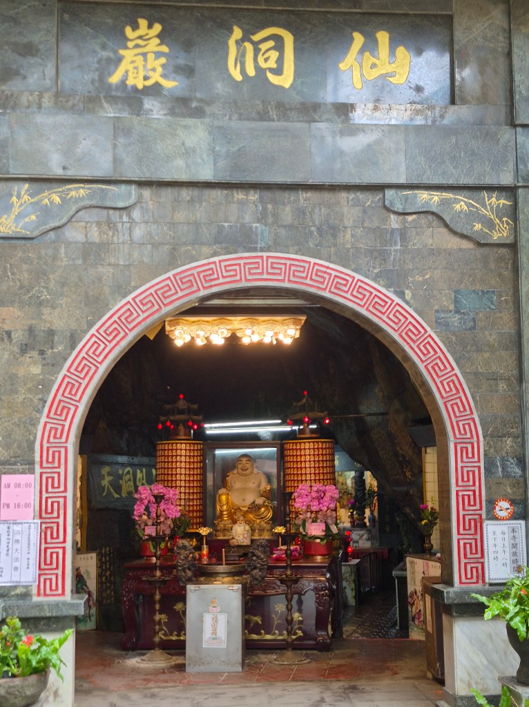
A close-up of a small shrine.
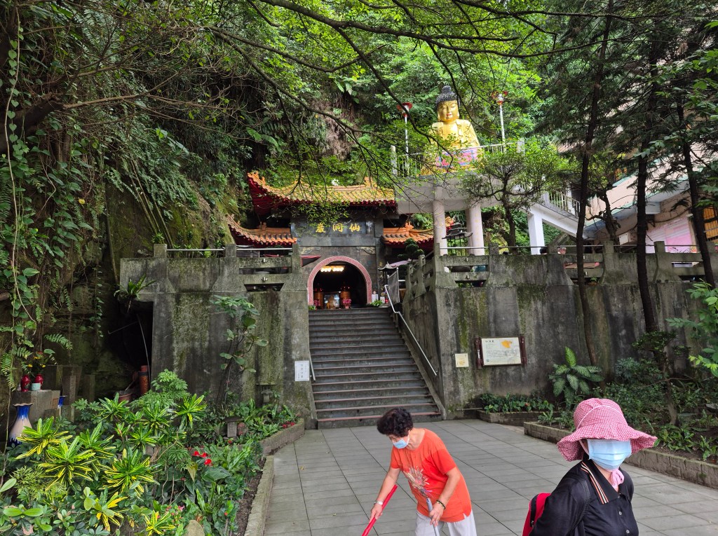
The approach to the cave.
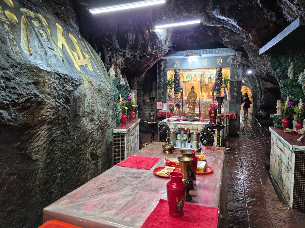
Inside the cave. The temperature dropped quite a bit from outside the cave, but the humidity increased; there was water dripping from the low tunnel.
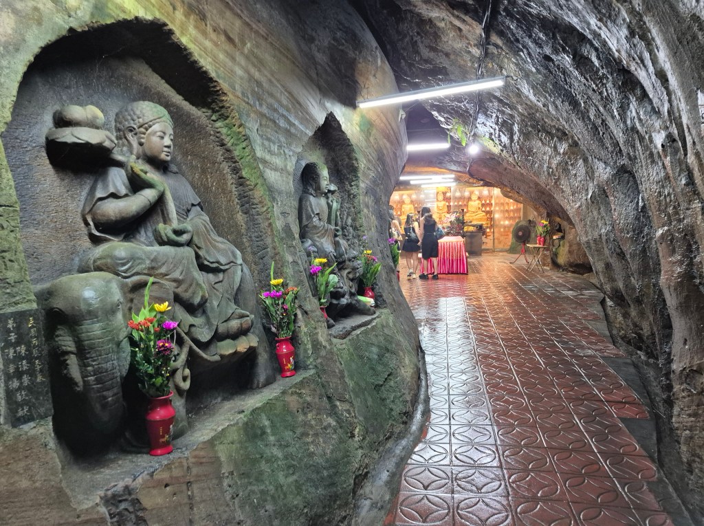
Moving deeper inside the cave. In the above photo you can see the walls and floor are wet.
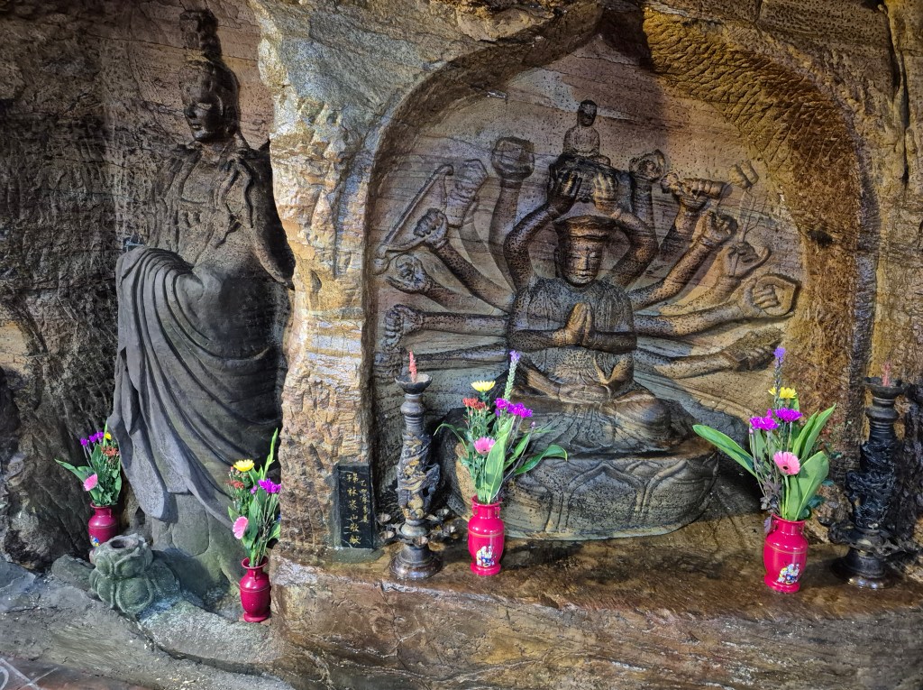
There was an Indian-inspired carving, the many-armed figure above, though I think it’s depicted with a Chinese-inspired hat.
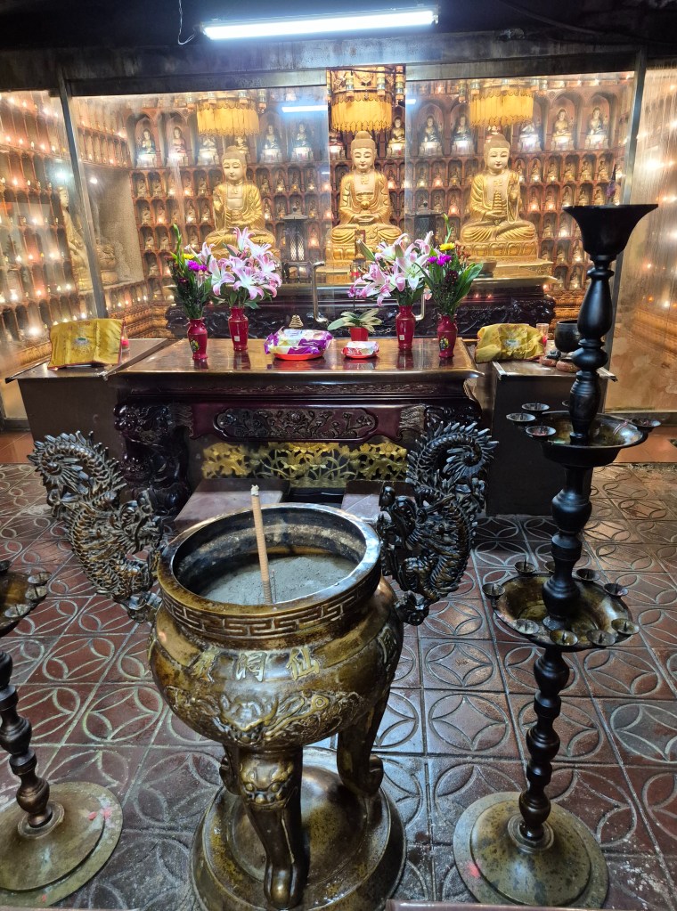
Keelung City Government says “Inside, you’ll find a temple built during the Qing Dynasty, dedicated to Guanyin Bodhisattva and the Three Treasures Buddha [above]. The inner cave walls are adorned with carved Buddhist statues and calligraphy inscriptions left by Qing-era scholars, offering both spiritual and cultural richness for visitors.”
By the way, there was another blog from Taiwan Trails and Tales covering Baimiweng Fort and Fairy Cave, but it goes into more detail.
I retraced my steps out of Fairy Cave, and looked around for Buddha Hand Cave nearby.
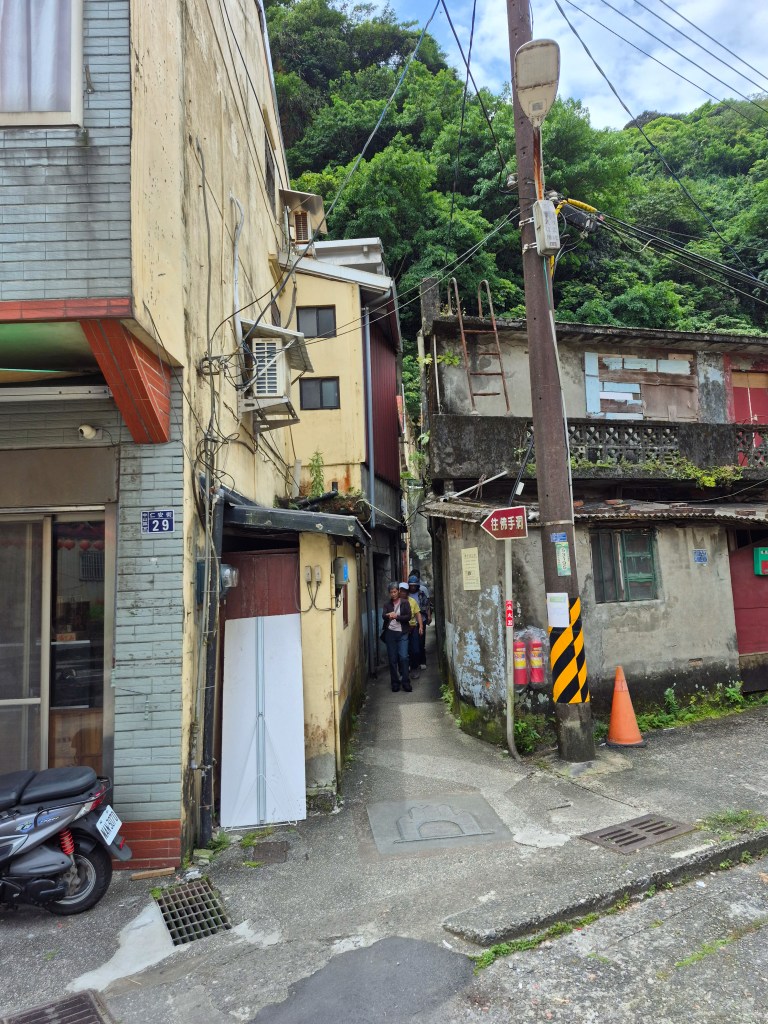
I followed the signs in Chinese to Buddha Hand Cave (above photo in red in the centre). The way led down a narrow path between buildings. I followed it to the entrance of another cave.
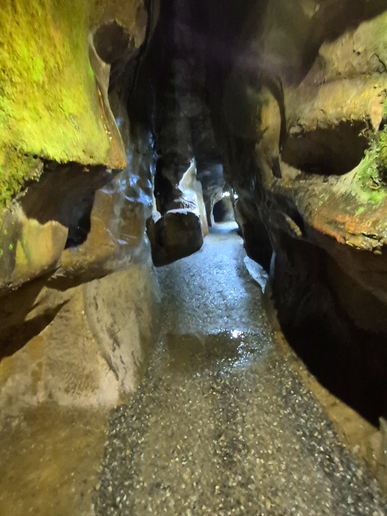
Once inside, the temperature dropped and the humidity increased like before. Buddha Hand Cave is extremely long and twisty. Round Taiwan Round says “The dim lights and seemingly endless tunnels give off a mysterious and frightening vibe to the cave. Every step is a struggle. But as you move on, the breeze will whisper across your face and the coolness will lift you up. At the very end of the cave, you will encounter the big ripple marks that have some resemblance to the five fingers of a man’s hand, hence the name Buddha Hand Cave. The cave used to serve as an air-raid shelter during the wartime where traces of cooking or heating use were also found, so it has very important research potential for studies on science and history alike.” I was glad when I emerged from the cave.
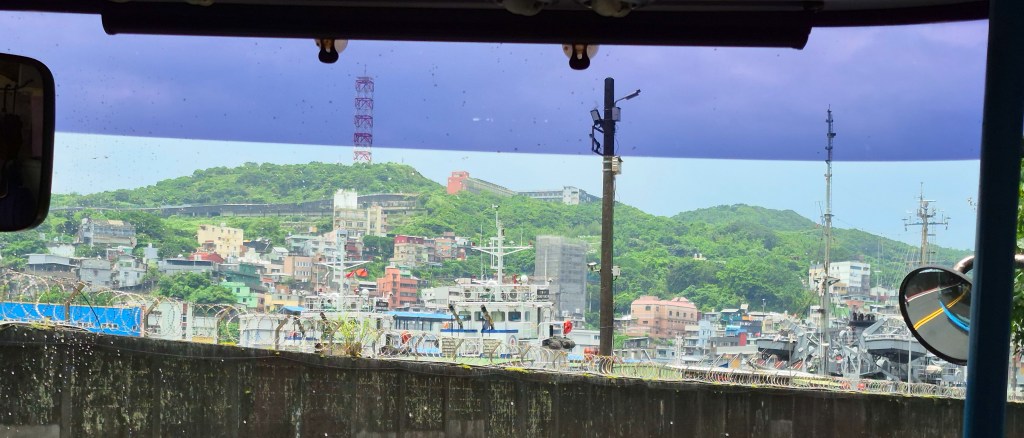
Then I went back to Keelung Train Station on another bus (above). Actually, two buses, as the first bus veered off, forcing me to take a second bus.
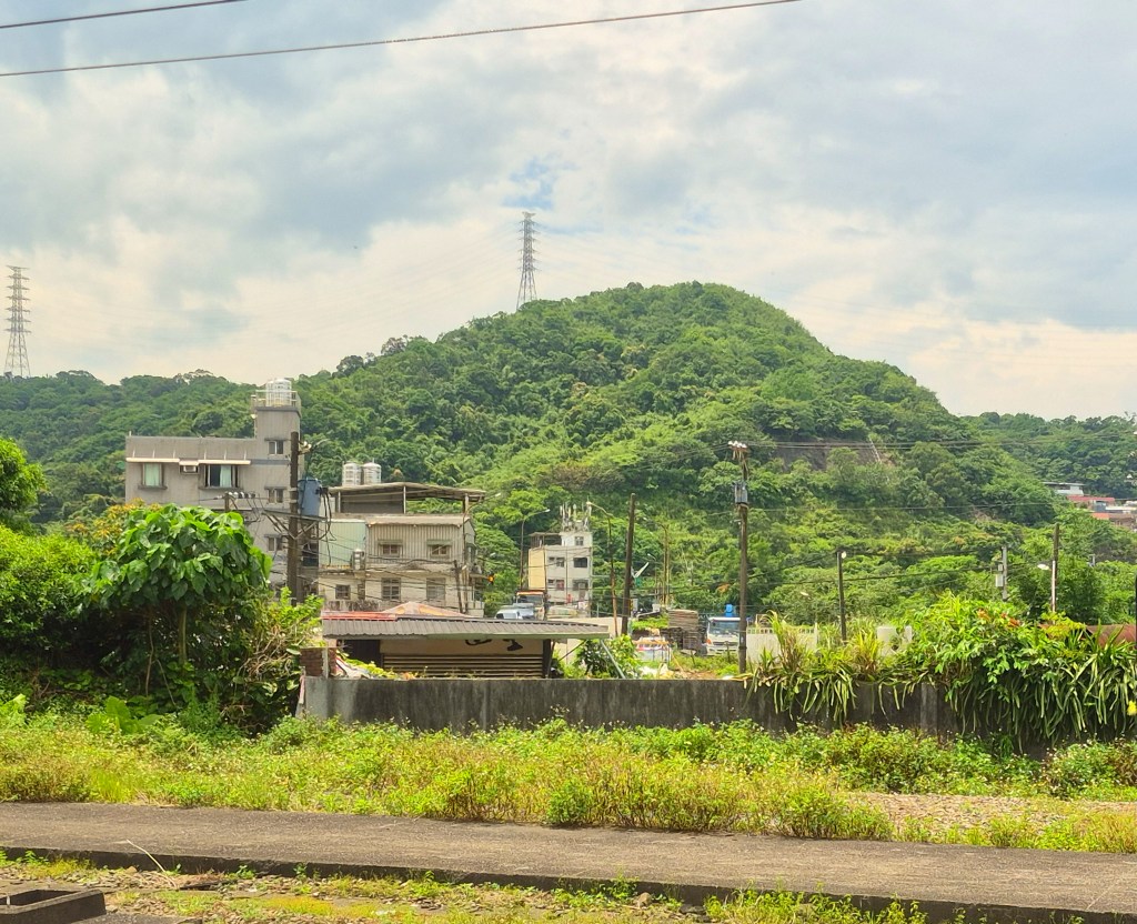
Coming back to Taipei I took another shot of mountain scenery.
 Wandering Richard
By that heat going up the hill ! Well done !
Claudie
LikeLike
That sounds like a very nice piece of local history.
LikeLike