February 24, 2026
I was back in Sydney. My mother mentioned she’d like to visit Katoomba, an internationally famous place near Sydney, in the Blue Mountains region.
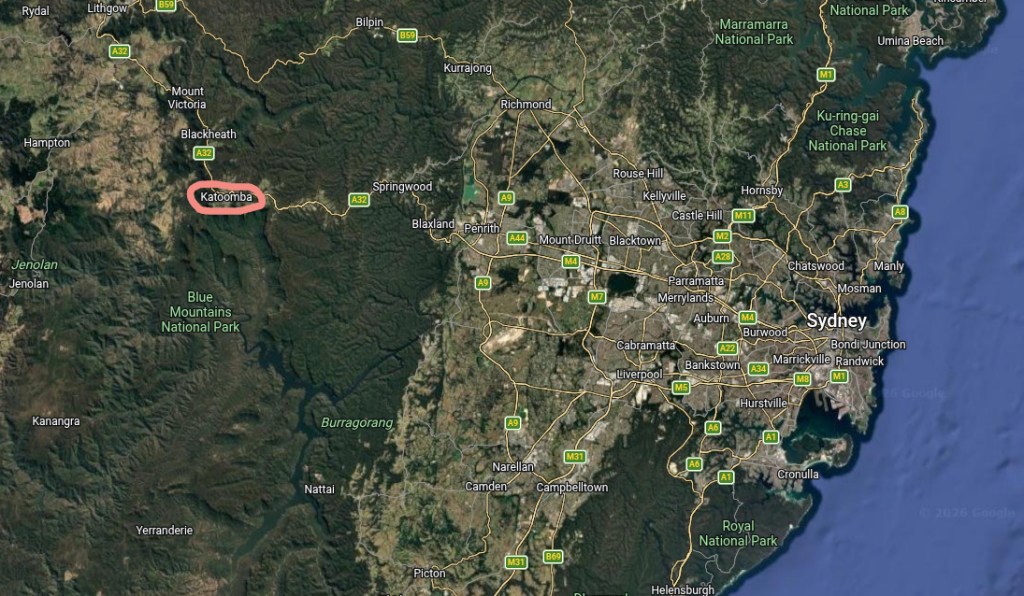
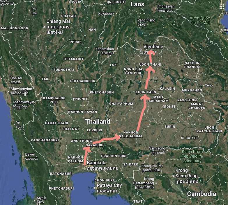
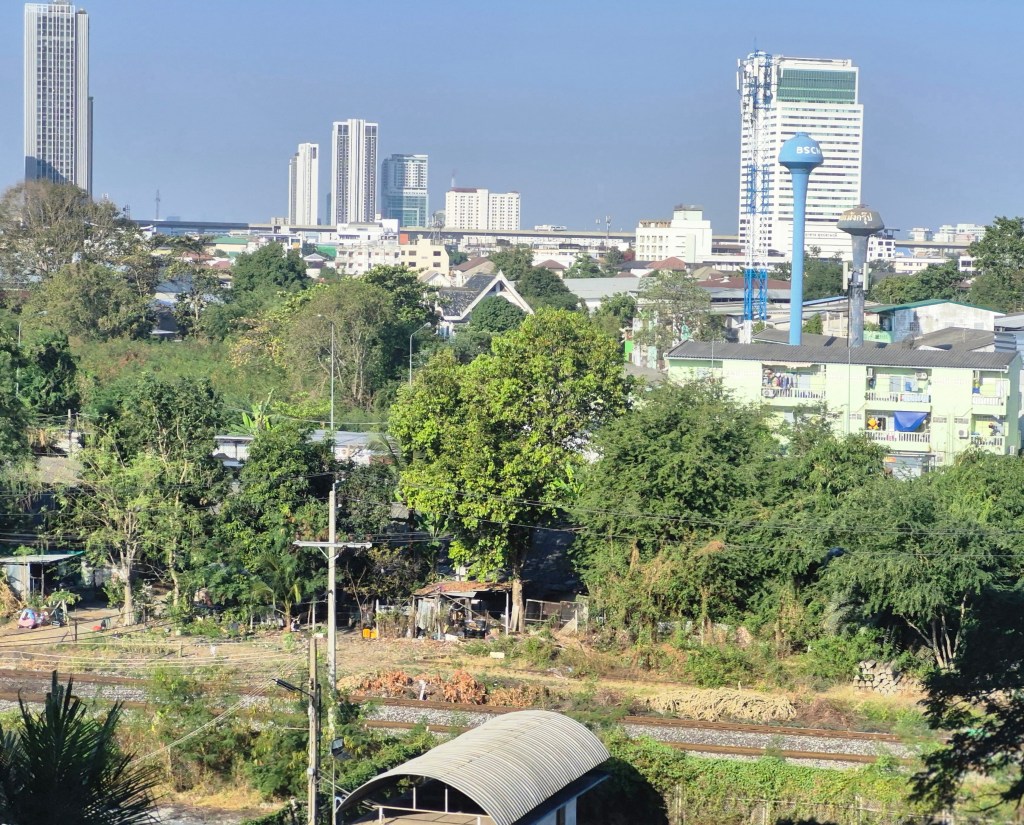
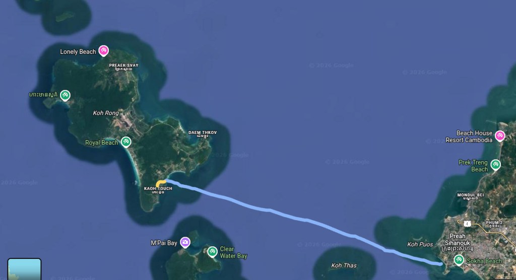
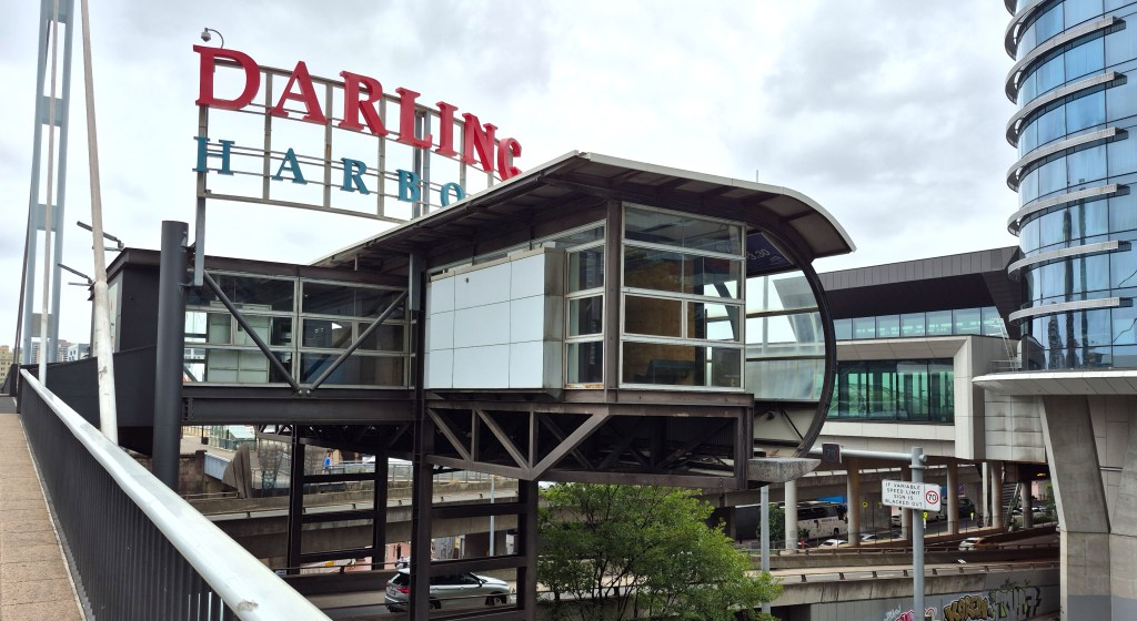
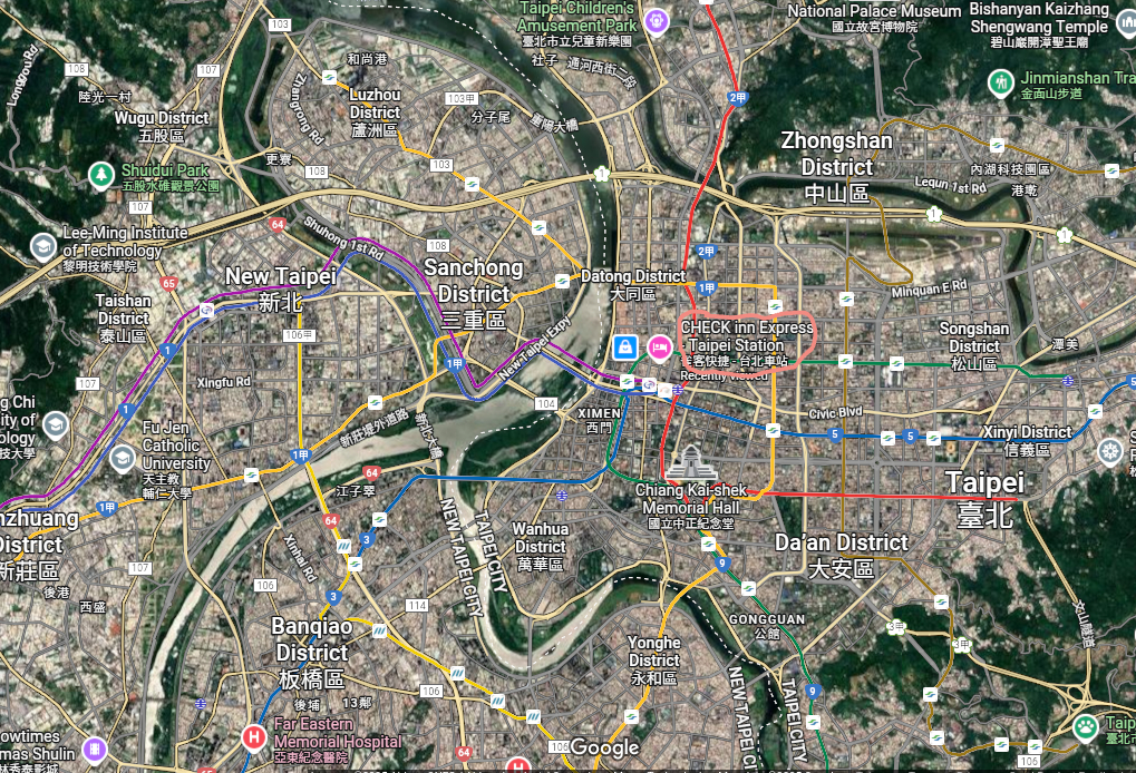
The Google Map above shows Katoomba, around 110 km west of Sydney. The train from Sydney Central Station to Katoomba takes roughly 2 hours.
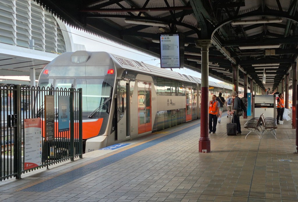
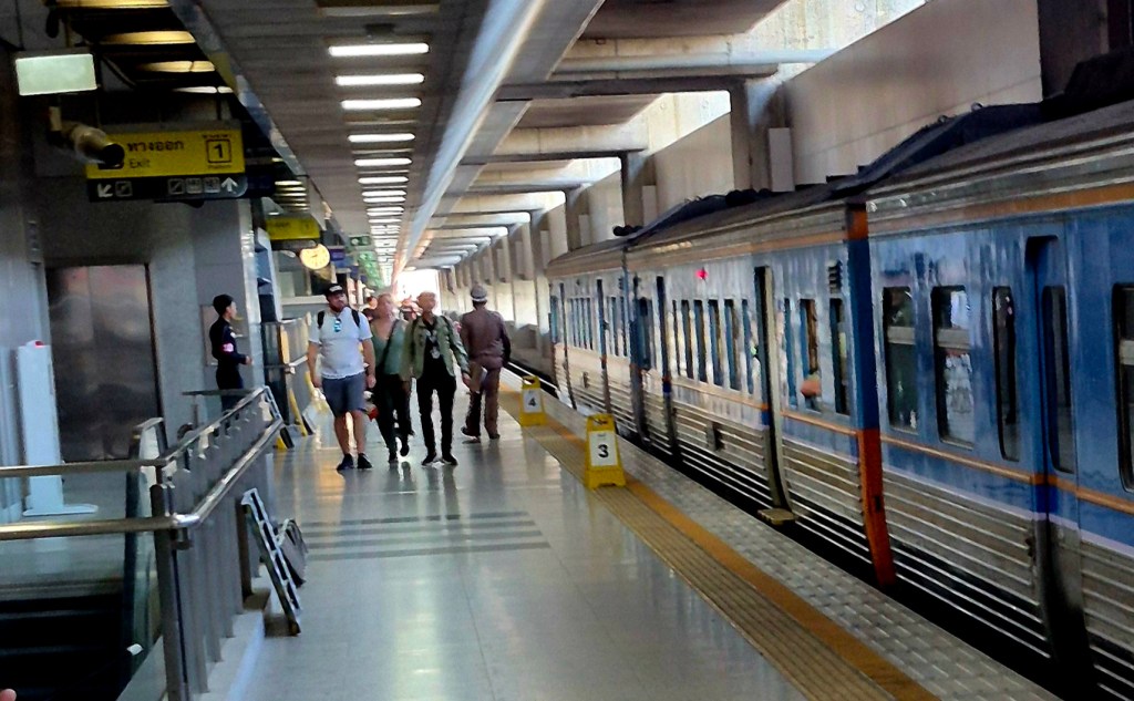
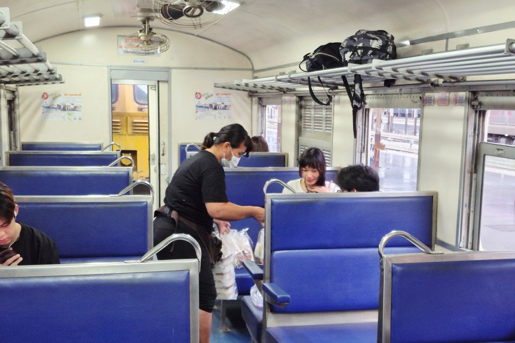
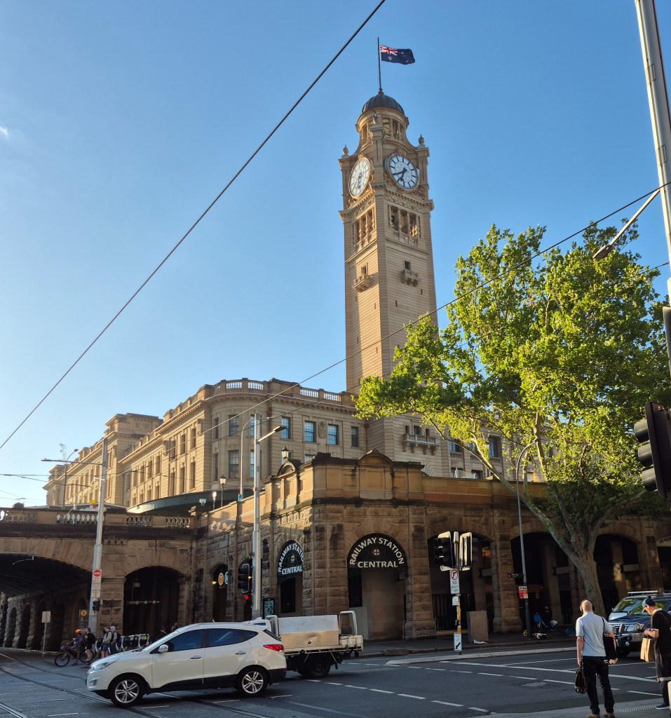
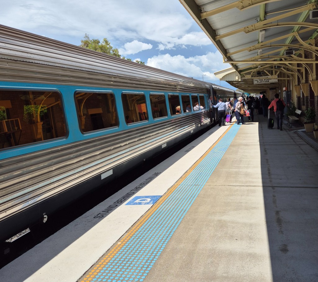
Our 8:25am train, at Central Station. The weather that day was around 23 degrees Centigrade and humid.
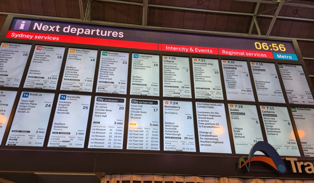
Just before our train left, I tried to buy train tickets for Katoomba and return. The woman at the Transport NSW counter was apologetic: I had already ordered my disabled pensioner Opal card a day ago but it hadn’t arrived yet, so they couldn’t do anything until that Opal card arrived. I ended up paying full price on my Katoomba return train tickets. On the bright side, the tickets cost only $AUD 10 (NTD 200) or so.
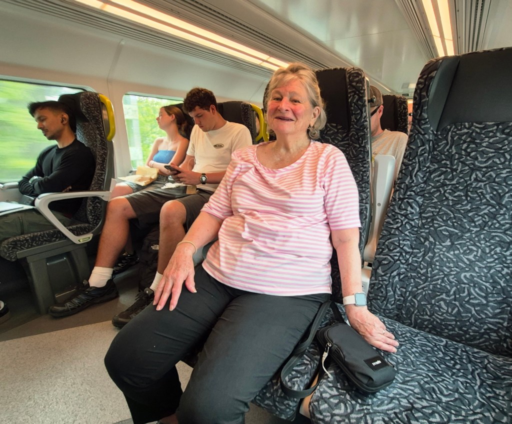
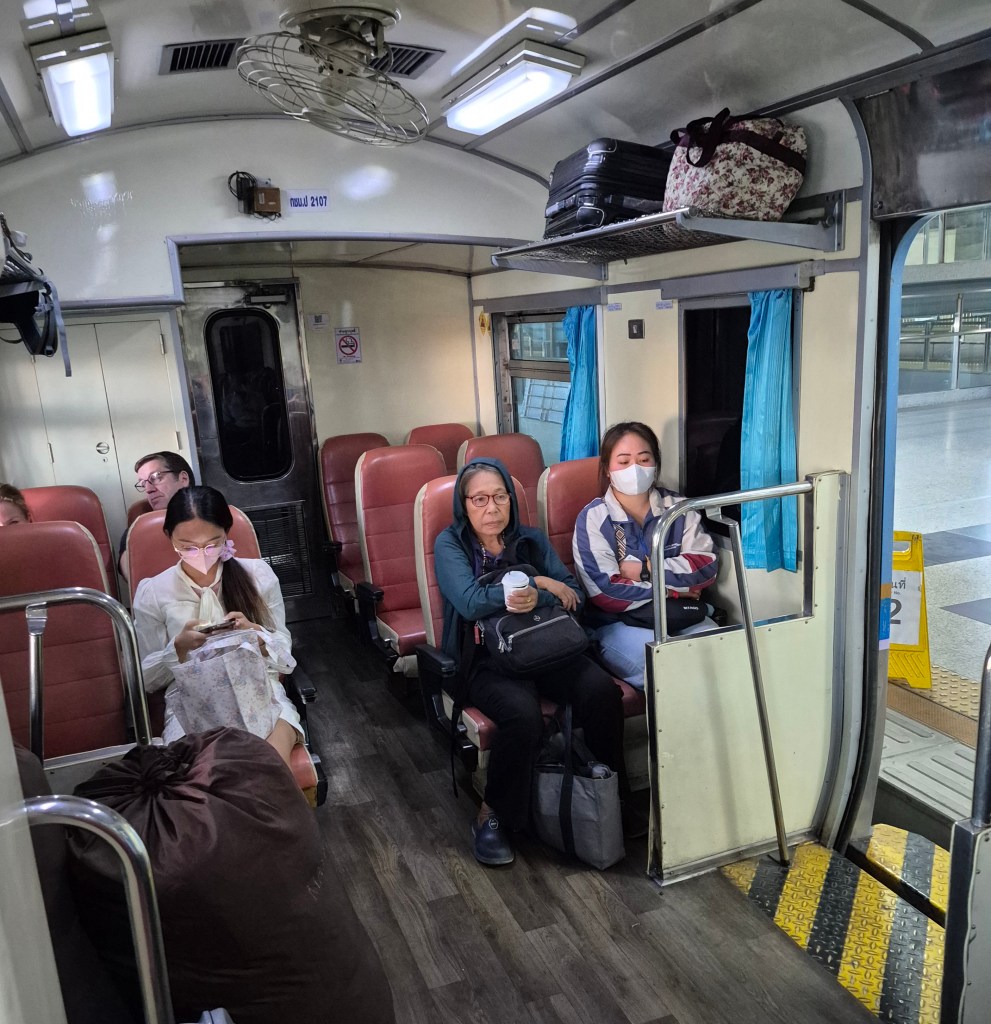
My mother on the train, heading for the Blue Mountains.
By the way, there is no “Blue Mountain” peak in the Blue Mountains. The blue colour “derived from the blue tinge the range takes on when viewed from a distance … imparting a blue-greyish colour to any distant objects, including mountains and clouds. Volatile terpenoids emitted in large quantities by the abundant eucalyptus trees in the Blue Mountains may cause Mie scattering and thus the blue haze for which the mountains were named”, Wikipedia said.
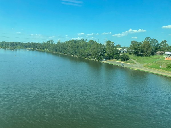
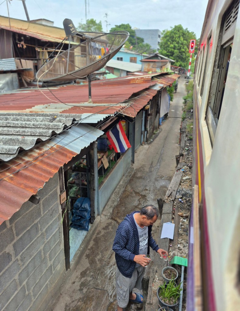
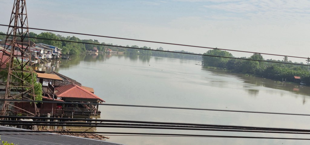
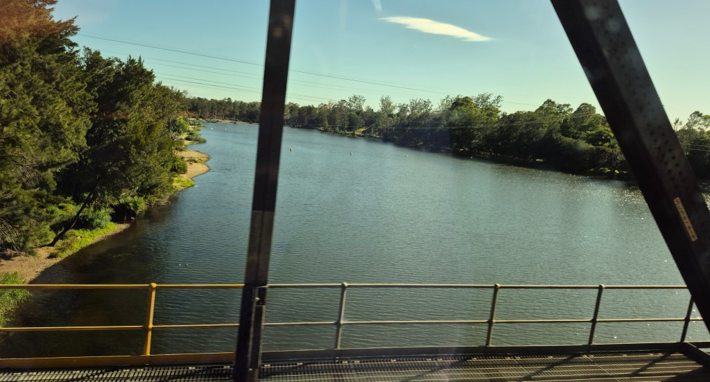
We crossed the Nepean River near Penrith. This photo was taken by my mother.
Wikipedia said “The original name for the Blue Mountains in the language of the Dharug and Gundungurra peoples is Colomatta (more accurately pronounced Gulu-mada). The meaning of the name is “koala place” from colo + matta”.
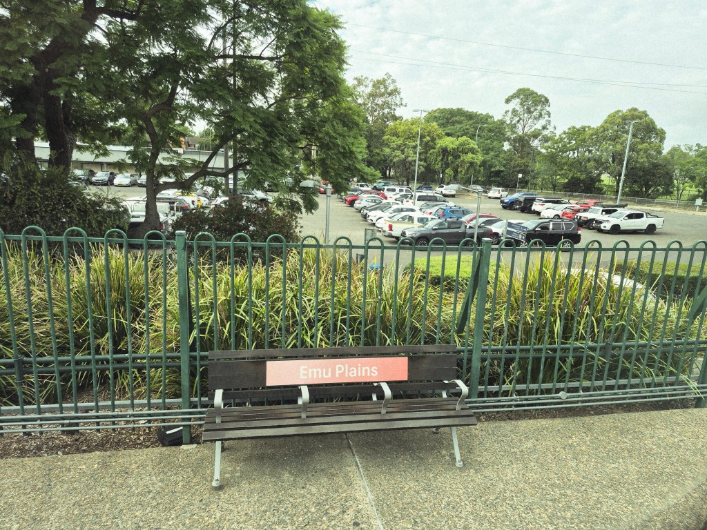
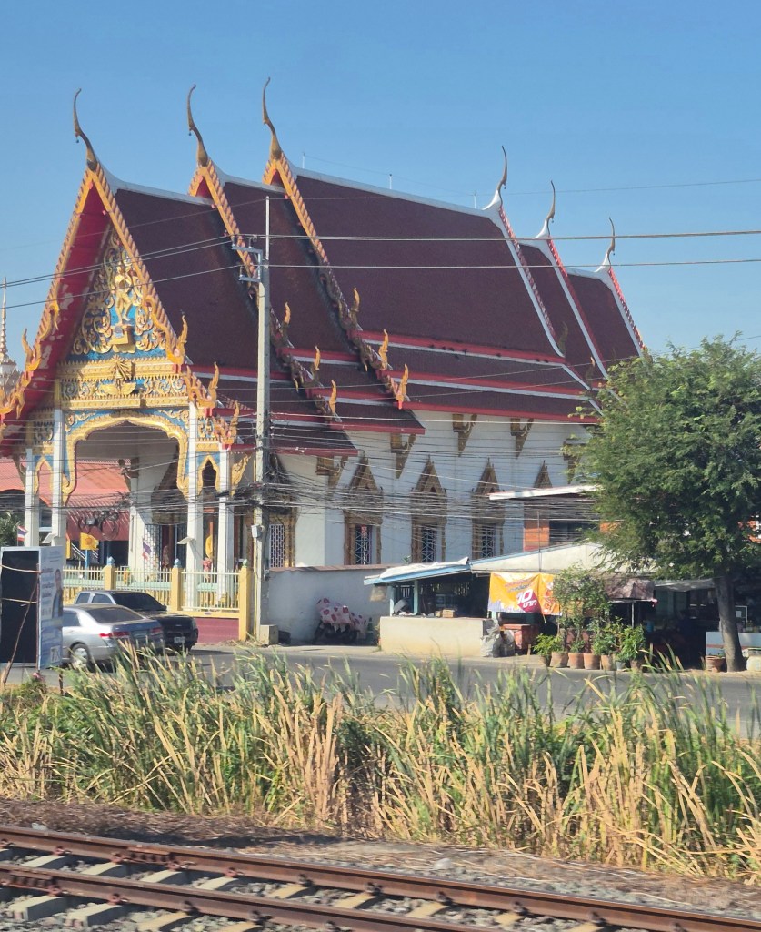
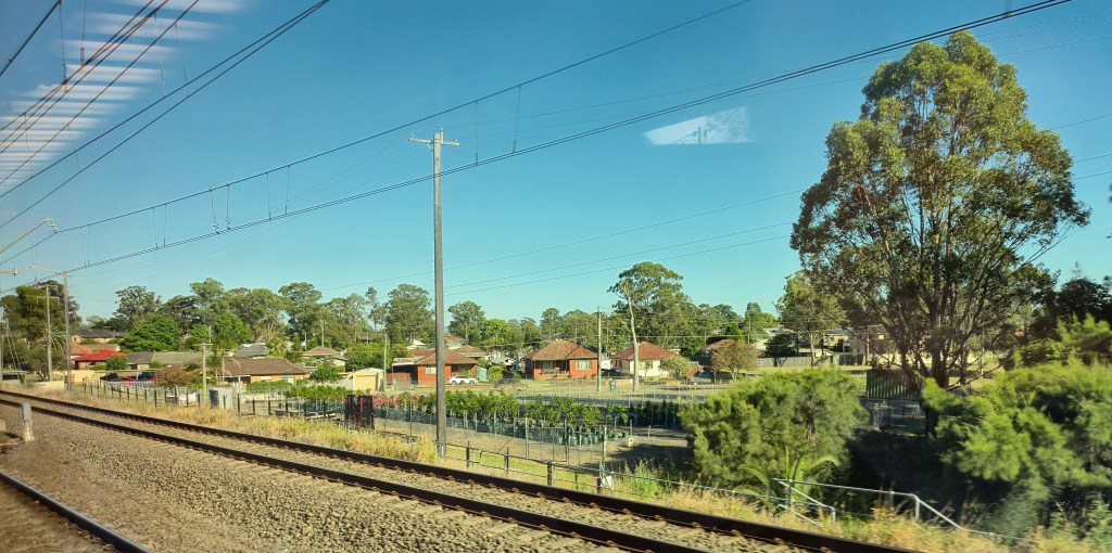
Emu Plains Station, just beyond the river. Emu Plains is redolent of the Australian bush, though in reality, there is a large car park just next to the station (above).
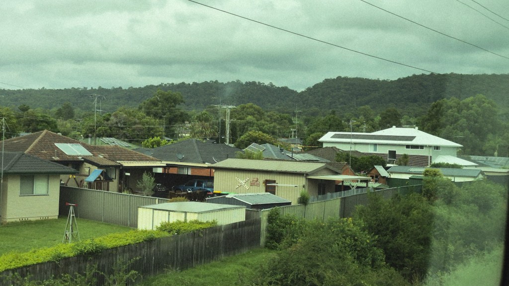
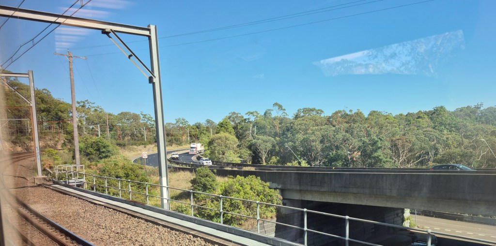
Entering the Blue Mountains near Lapstone.
Wikipedia said “The Greater Blue Mountains Area was unanimously listed as a World Heritage Area by UNESCO on 29 November 2000 … The area totals roughly 10,000 square kilometres (3,900 sq mi), including the Blue Mountains, Kanangra-Boyd, Wollemi, Gardens of Stone, Yengo, Nattai and Thirlmere Lakes National Parks, plus the Jenolan Caves Karst Conservation Reserve.”
Wikipedia said in the early days of the colony, in the belief of many convicts, China lay just beyond the Blue Mountains.
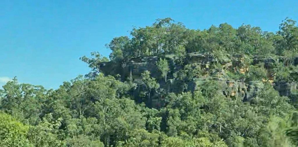
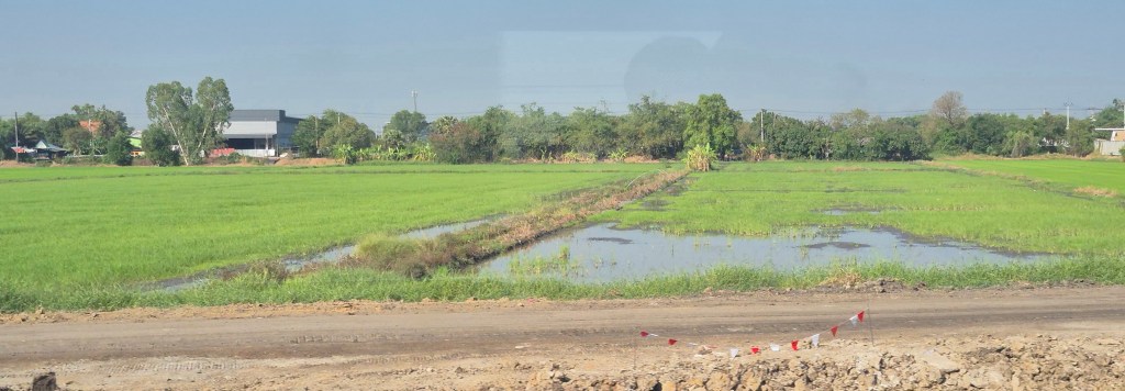
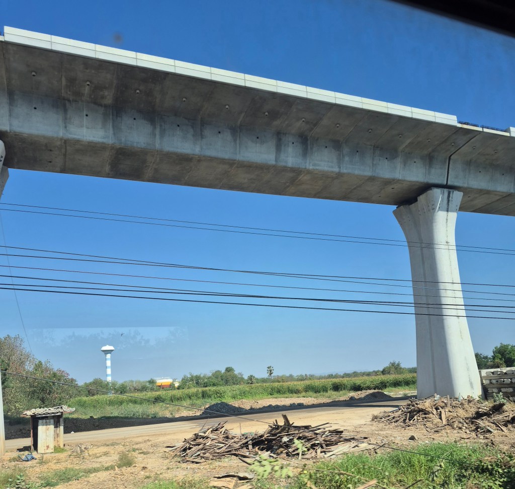
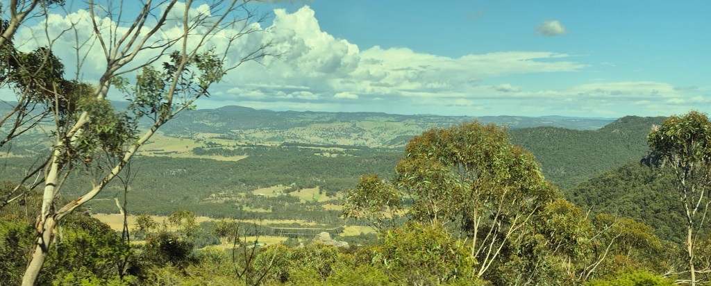
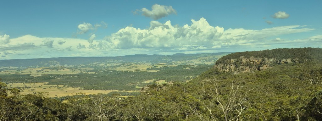
We climbed up the ranges, following a watercourse, through tunnels and cuttings, with an intermittent view of escarpments (above).
Wikipedia said “The Gundungurra creation story of the Blue Mountains tells that Dreaming creatures Mirigan and Garangatch, half fish and half reptile, fought an epic battle which scarred the landscape into the Jamison Valley.”
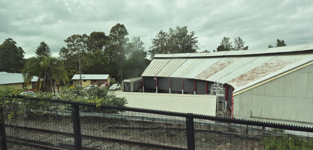
Valley Heights Rail Museum, built on a depot. “The depot at Valley Heights was a crucial piece of infrastructure, vital to the operation of the Blue Mountains railway and the movement of trains across the mountains. It consisted of a locomotive yard, 10 bay roundhouse, 18 metre (60ft) turntable, an elevated coal stage, water tanks and columns and provided pilot (assistant) engines for trains travelling to Katoomba and beyond. … The engines at Valley Heights not only piloted over the longest distance in NSW, but also had the envious distinction of having to operate over the longest continual and most steeply graded mainline in Australasia. The section from Valley Heights to Katoomba, a distance of 20 miles 16 chains (32.7 km) has a ruling grade of 1 in 33 (3.33%), rose a total of 2,200 ft (670 m), the gradients varying from 1 in 60 (1.67%) to the steepest of 1 in 31 (3.23%).”
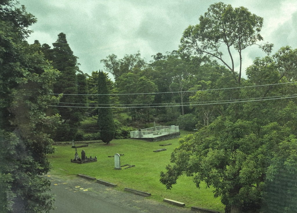
Sir Henry Parkes’ grave, taken from the window of our train. Monument Australia said “Sir Henry Parkes, GCMG (27 May 1815 – 27 April 1896) was an Australian politician and businessman who served as a Premier of New South Wales. He has been referred to as the ‘Father of Federation’ as he was one of the most influential advocates of the Federation of Australia.”
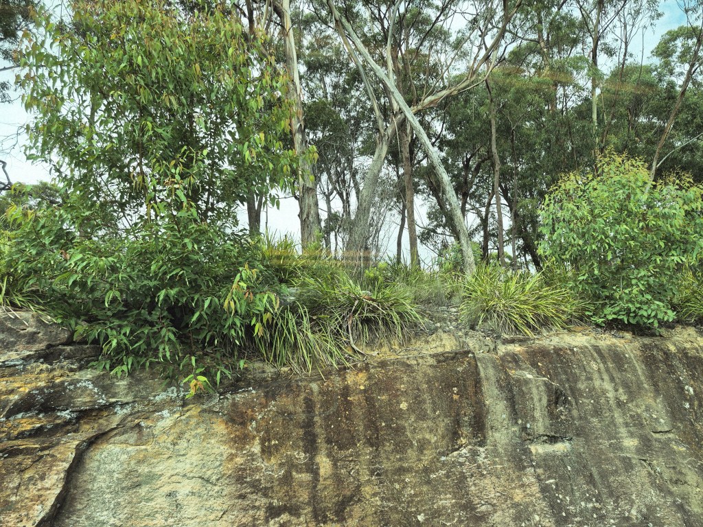
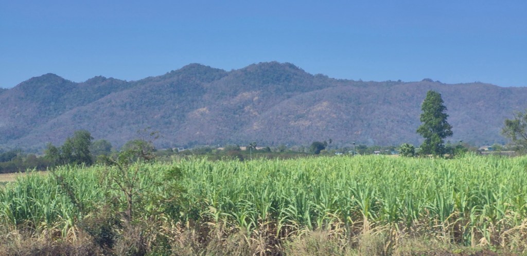
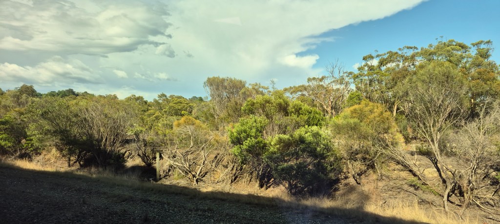
Typically Australian sclerophyll forest on sandstone. “Sclerophyll forests are a typically Australian vegetation type having plants (typically eucalypts, wattles and banksias) with hard, short and often spiky leaves, which is a condition closely associated with low soil fertility (rather than rainfall/soil moisture). Low fertility also makes soils undesirable for agriculture and native vegetation has, therefore, remained relatively intact”, according to the NSW government Office of Environment and Heritage.
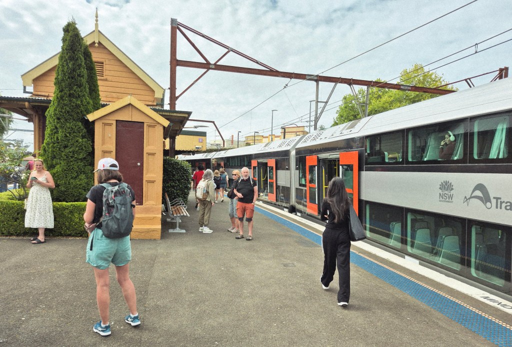
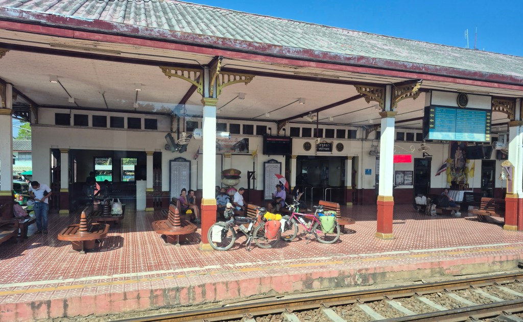
After two hours, our train arrived in Katoomba Station (above).
The air was cooler than in Central Station, around 20 degrees Centigrade. Wikipedia said “At Katoomba, (1,010 m or 3,314 ft) the summer average maximum temperature is around 22 °C with a few days extending into the 30s (80s–90s °F) although it is quite common to see maximum temperatures stay in the teens when east coast troughs persist. … The Blue Mountains is not known for particularly cold mornings compared to other areas on the Central Tablelands, such as Oberon, Bathurst and Orange. There are two to three snowfalls per year.”
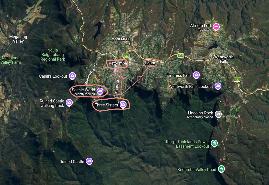
The Google Map above showed our way, from Katoomba Station, to the Three Sisters at Echo Point, then Scenic World, then taking the train home from Leura.
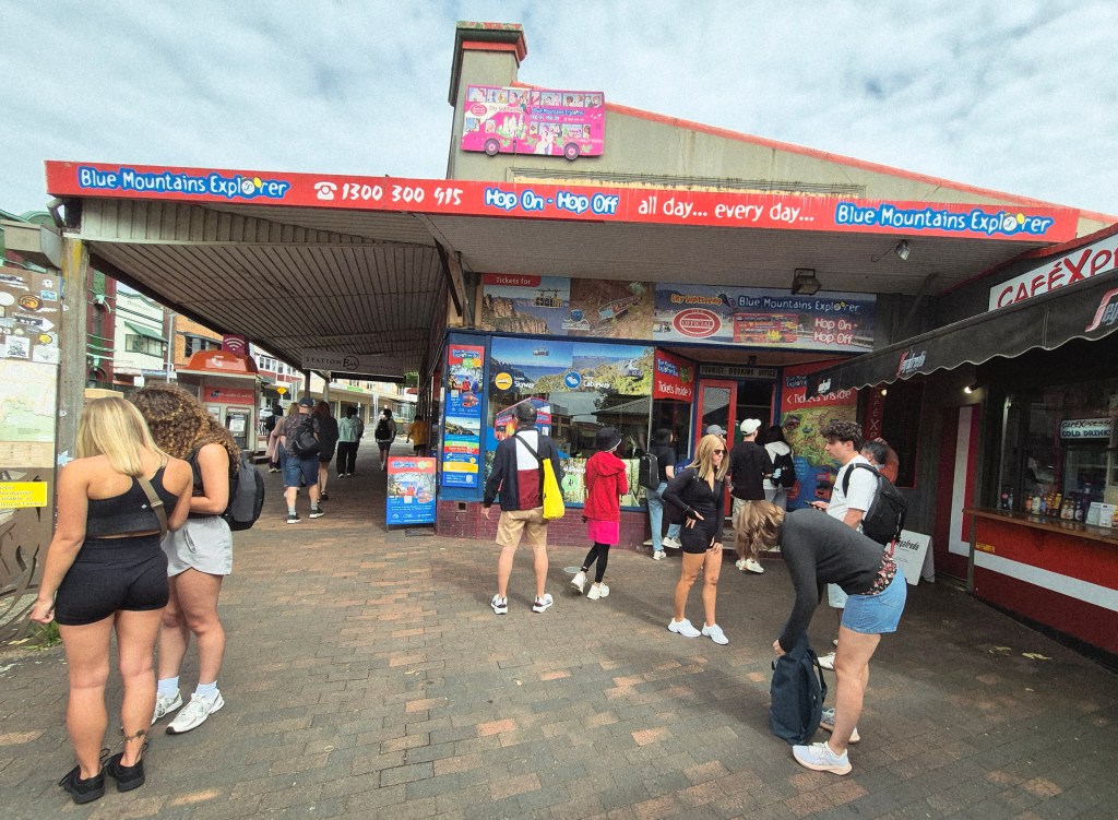
The Blue Mountains Explorer shop, next to the train station. My mother and I had decided to take the combined Blue Mountains Explorer bus ticket ($AUD 25, NTD 500) and the Scenic World discount pass ($AUD 52, NTD 1040). This proved a mistake. We didn’t need the Blue Mountains Explorer bus ticket, because the government buses were going to Echo Point and Scenic World. My mother very kindly paid for both our tickets.
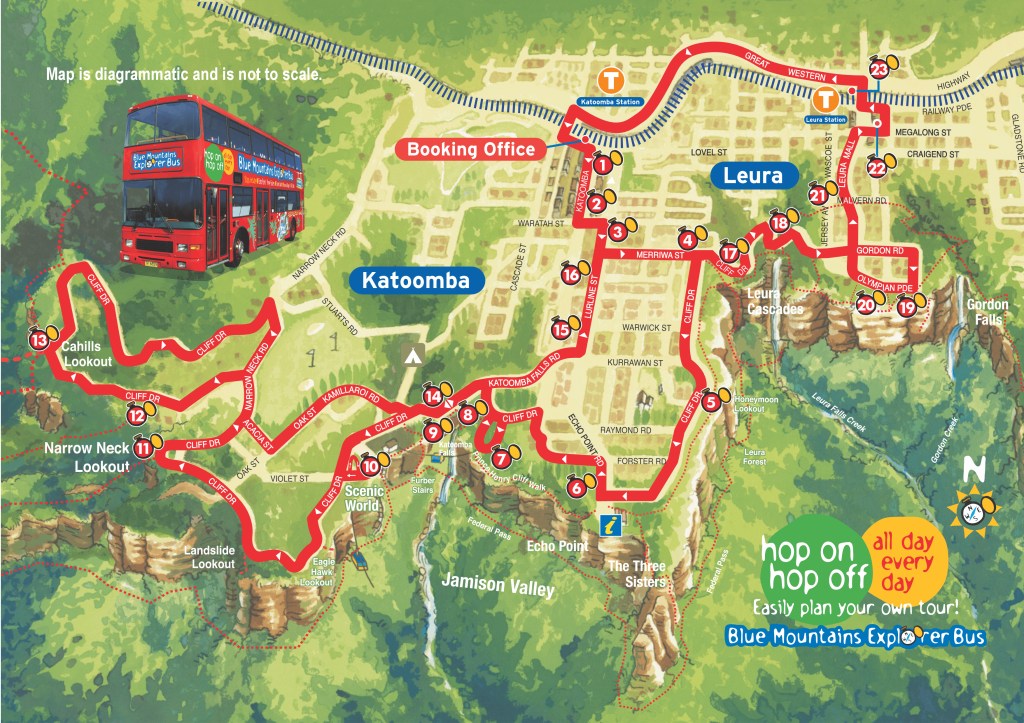
The Blue Mountains Explorer shop gives you a little book with many maps, timetables, and information about the route. Above is one I downloaded giving the Blue Mountains Explorer bus route.
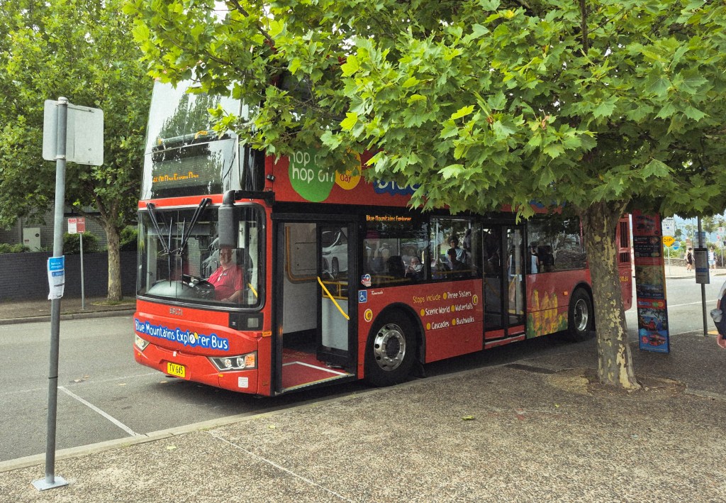
One of the Blue Mountains Explorer buses. We ran for the bus just as it was pulling out. It was fortunate – the next bus was in an hour.
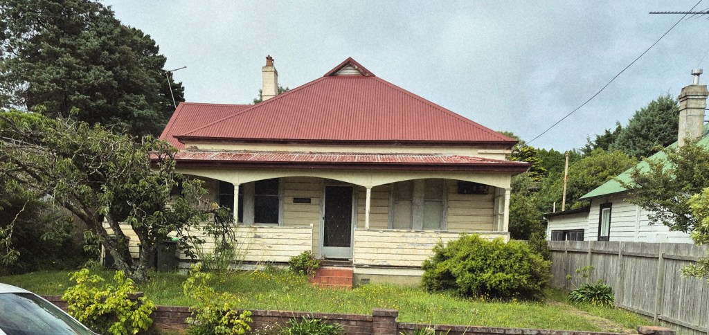
On the bus. I snapped a picture of this old Blue Mountains cottage.
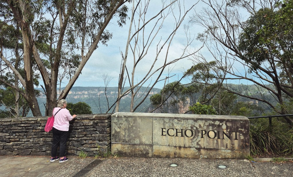
We stepped off the bus at Echo Point bus stop. In the photo above my mother is staring at the splendid scenery.
The Dictionary of Sydney said “Situated in Gundungurra and Darug country, and emerging as a major tourist destination in the 1920s, Echo Point now attracts around 1.4 million visitors a year. Because of its popularity (almost ‘loved to death’ in the words of one newspaper) … it is an uncanny site which for almost a century has combined a ‘holiday playground’ … atmosphere with the sublime.”
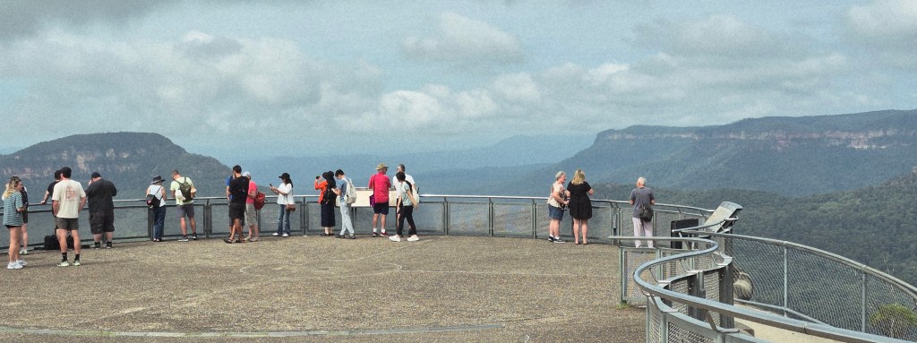
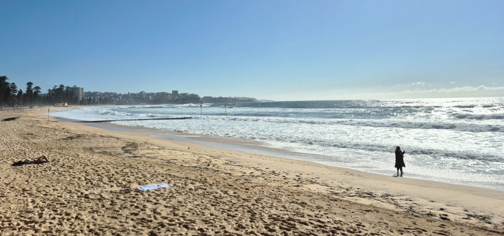
There was a spectacular view from Echo Point, only partially captured by my mobile phone.
The Dictionary of Sydney said “The question of whether there is, in fact, an echo at Echo Point also remains unsettled, the subject of humorous debate in newspaper letters pages throughout the last century. Some locals claim a ‘cooee’ from the suspended lookout will echo from the left of the Three Sisters while others have suggested it will return, with a long time delay, from the Kanimbla Valley beyond Narrow Neck; though, as local historian Jim Smith observed, ‘two minutes is an awfully long time to the impatient tourist of today.’”
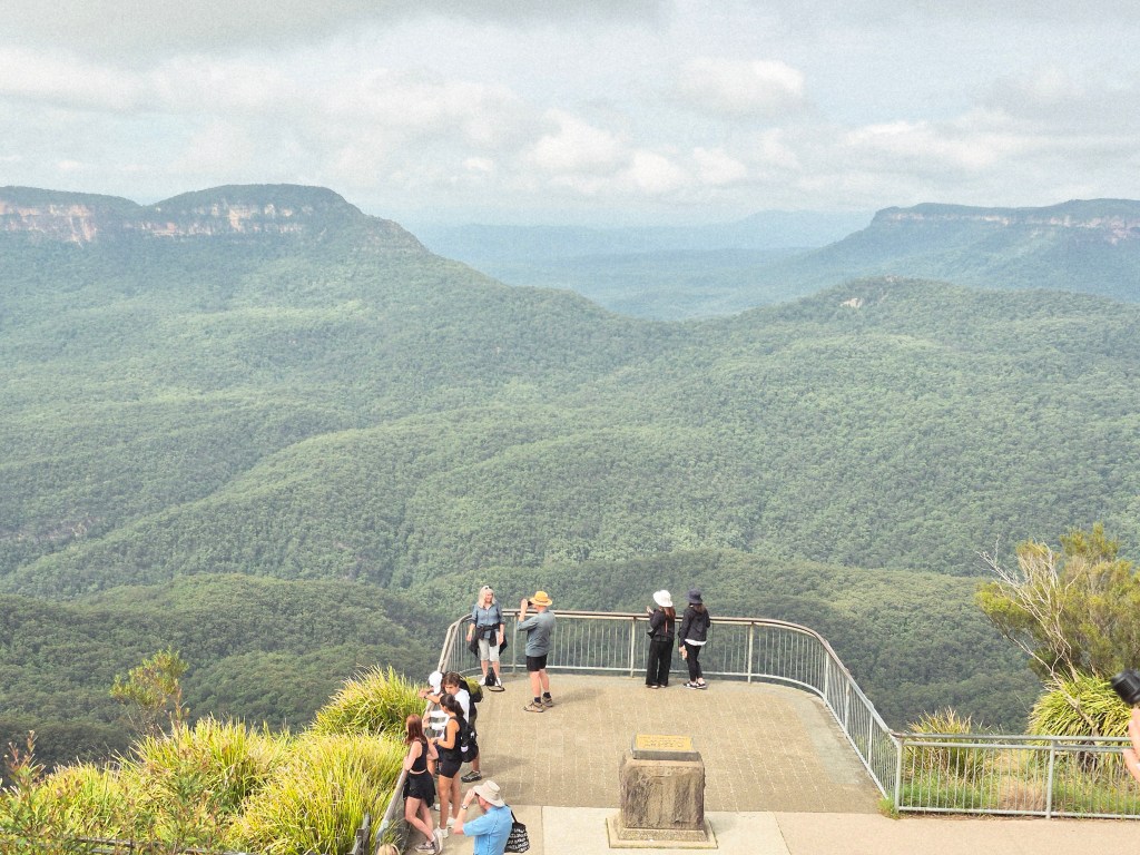
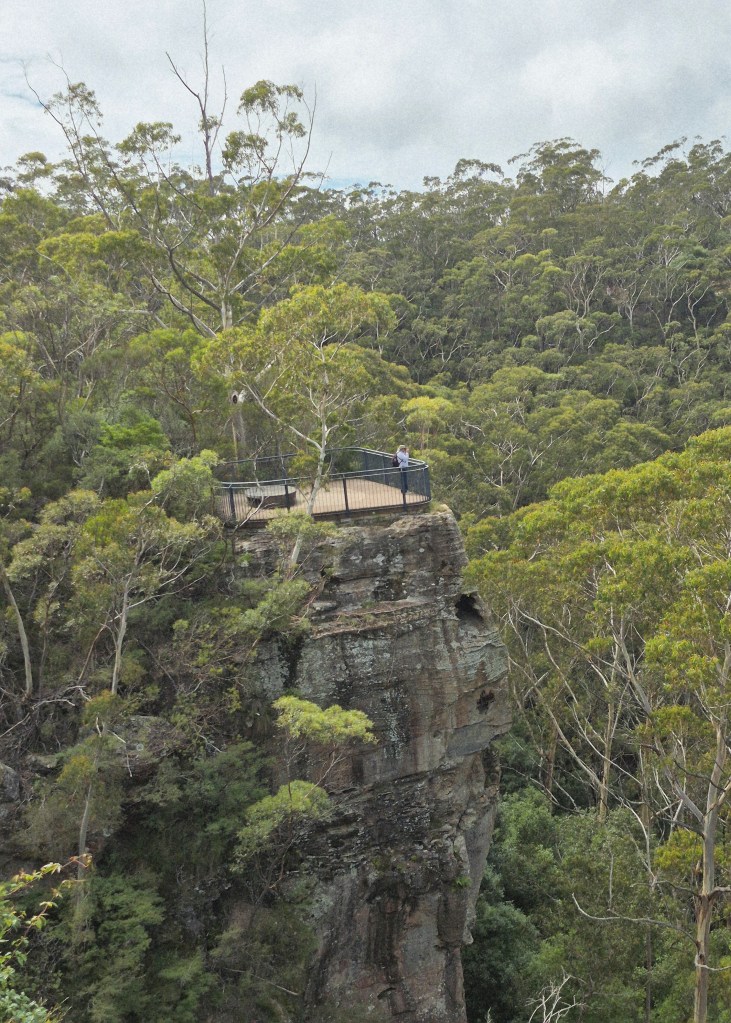
Below the viewpoint is another viewpoint (above) suspended on a cliff high above the valley. You can look over the fence to see a drop vertically several hundred metres to the valley floor.
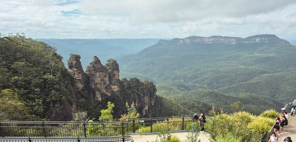
And, of course, the Three Sisters. The Dictionary of Sydney said “It was only around the turn of the century, as Katoomba boomed as a tourist destination, that the Three Sisters became the dominant sight that they remain today. “
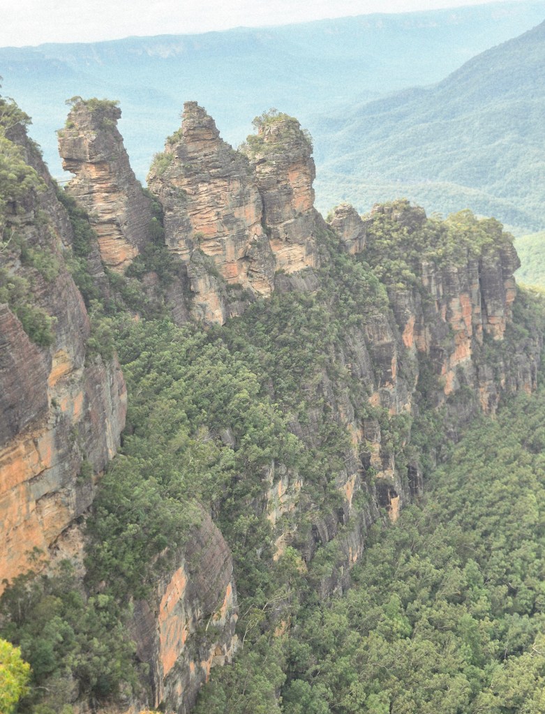
A close-up of the Three Sisters. This formation is absolutely awe-inspiring.
The Dictionary of Sydney said the story goes “the ‘sorcerer’ of the Katoomba tribe turned the three beautiful sisters Weemala, Meenie and Gunedoo into stone in order to save them from being carried away by young men of the Nepean tribe. Dying in the subsequent battle, he was unable to change them back, so that they remain petrified on the valley’s edge. Historians have expressed great skepticism about this legend which has become central to the charisma of Echo Point. … the Gundungurra identify the Three Sisters as the remnants of an original seven stone pagodas and that they are an intimate part of the Muggadah, or ‘Seven Sisters Dreaming’, linked to the Seven Sisters of the Pleiades star cluster.”
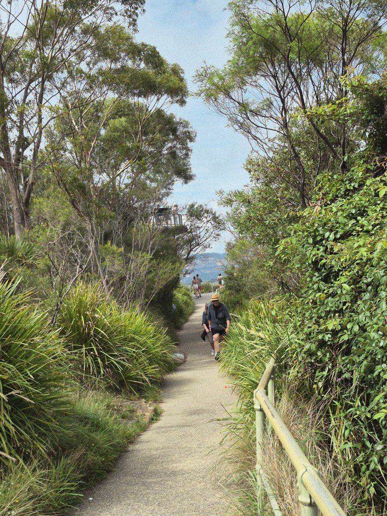
I walked to the further lookout, among some fine Australian bush (above).
I saw another lookout above a high cliff.
After an hour, my mother and I boarded the next Explorer bus for Scenic World.
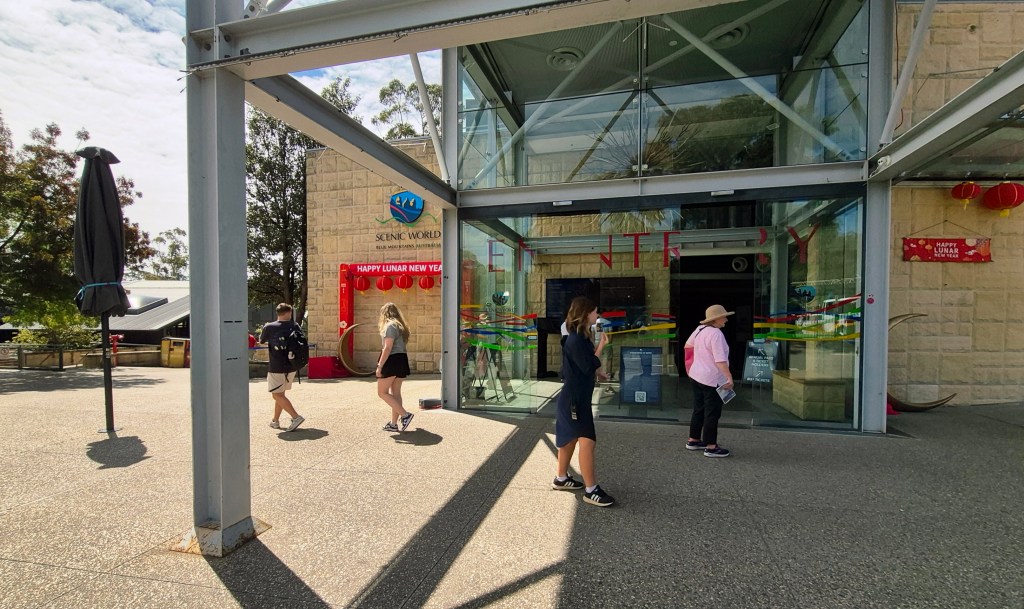
The entrance to Scenic World, taken only steps from the bus.
Scenic World said “Established in 1945, Scenic World began when Harry Hammon, a local entrepreneur, had the vision to transform a former coal mine into an iconic tourist attraction. When the Katoomba Colliery closed in 1945, Harry recognised an opportunity to innovate – he converted the old coal skips and existing rail track into a passenger train, creating what is still the world’s steepest passenger train. Today, Scenic World continues to be owned and operated by the Hammon Family, offering award-winning experiences to over a million visitors a year, and it is one of the largest employers in the Blue Mountains.”
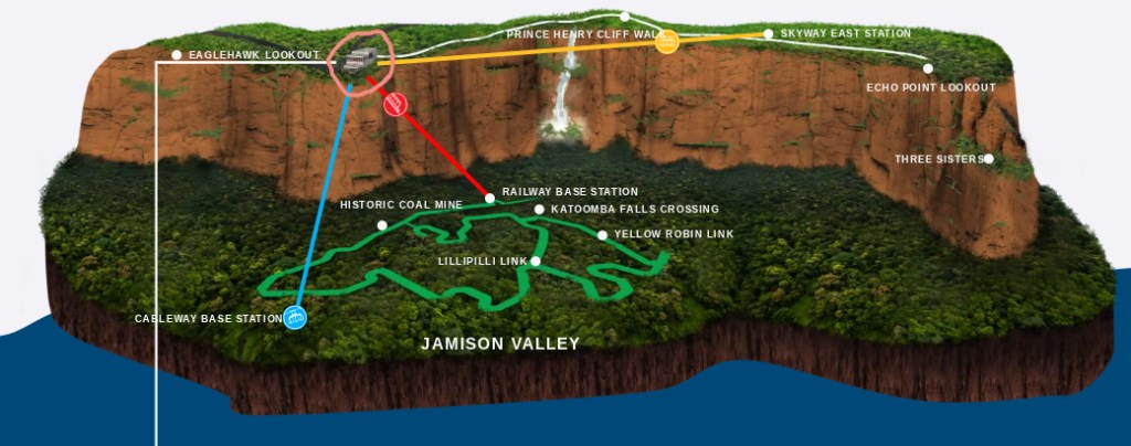
Above is a diagram of the operations of Scenic World, modified from this map. We were at the Scenic World building marked with a pink circle. We went on:
- the Scenic Railway in red running from the Scenic World building;
- the Scenic Walkway in green on the Jameson Valley floor;
- the Scenic Cableway in blue terminating at the Scenic World building.
We didn’t visit the Scenic Skyway in yellow.
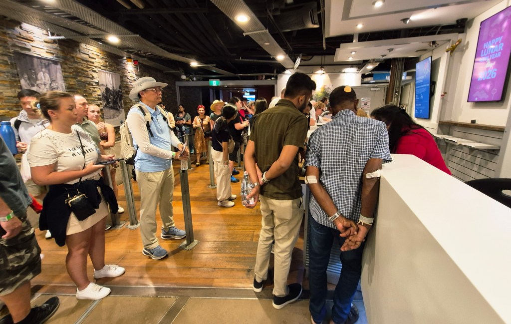
Inside the Scenic World building there was a queue for tickets (above).
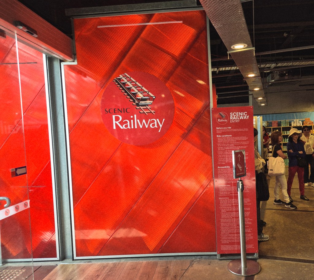
Just along from the ticket counter was the entrance to the Scenic Railway.
On our way to the Scenic Railway we passed the Scenic Skyway (above). Scenic World gushes “Glide between cliff tops 270 metres above a World Heritage-listed rainforest”. Maybe next time I visit.
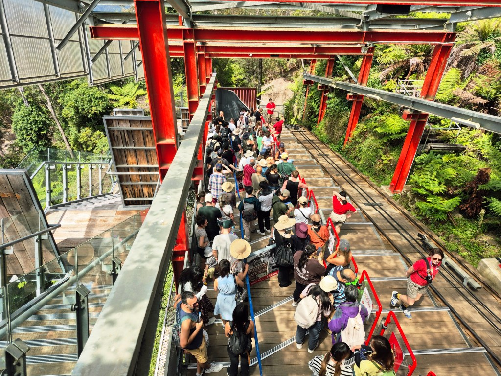
We descended to the upper station of the Scenic Railway. The cable-car was away in this photo; the cables on the right-hand side show its usual position.
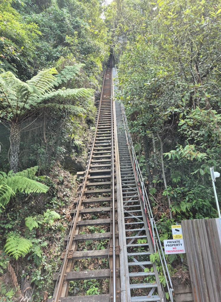
Wikipedia said “The Scenic Railway is an incline railway now used for tourism. The steepest section of track is on an incline of 52 degrees (128% gradient) contained within a total distance of 310 metres (1,020 ft)… It was originally constructed for a coal and oil shale mining operation in the Jamison Valley in the 1880s, in order to haul the coal and shale from the valley floor up to the escarpment above. From 1928 to 1945, it carried coal during the week and passengers at weekends. The coal mine was closed in 1945 after which it remained as a tourist attraction. … The Scenic Railway has been promoted as the world’s steepest passenger railway, but it is technically an inclined lift, not a funicular … In the broader category of cable cars, the Scenic Railway was surpassed in steepness in 2024 by the new Schilthorn cable car in Switzerland, which has a gradient of 159.4%.”
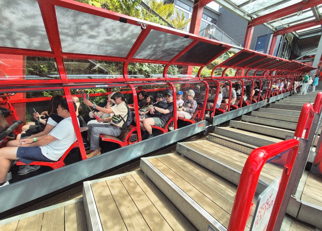
Soon the cables drew the Scenic Railway cable-car upward to the inclined platform. The doors opened upward, the tourists scrambled out, and new tourists took their place. I took this photo just before the doors closed downwards and the Scenic Railway cars hurtled downwards.
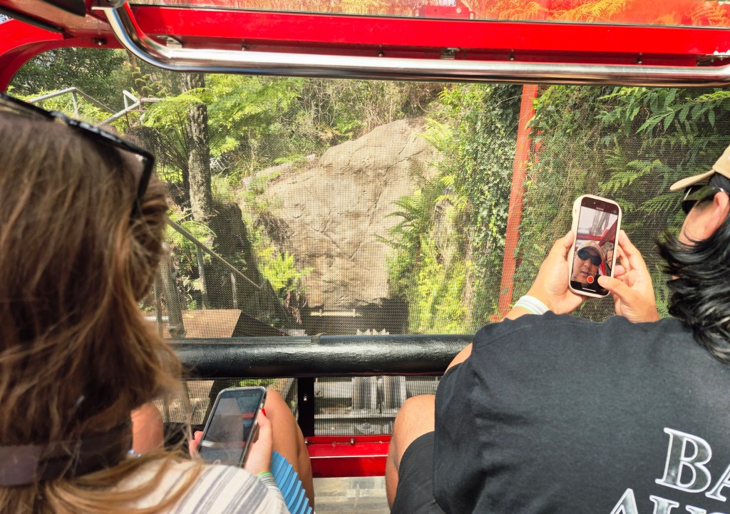
Then it was our turn. I took this photo as we were about to depart.
Then we rushed at 52 degrees to the horizontal, 310 meters over about 125 seconds. Quite a ride.
There are many YouTube clips of the Scenic Railway from start to finish such as the one above, as befits a world-famous site.
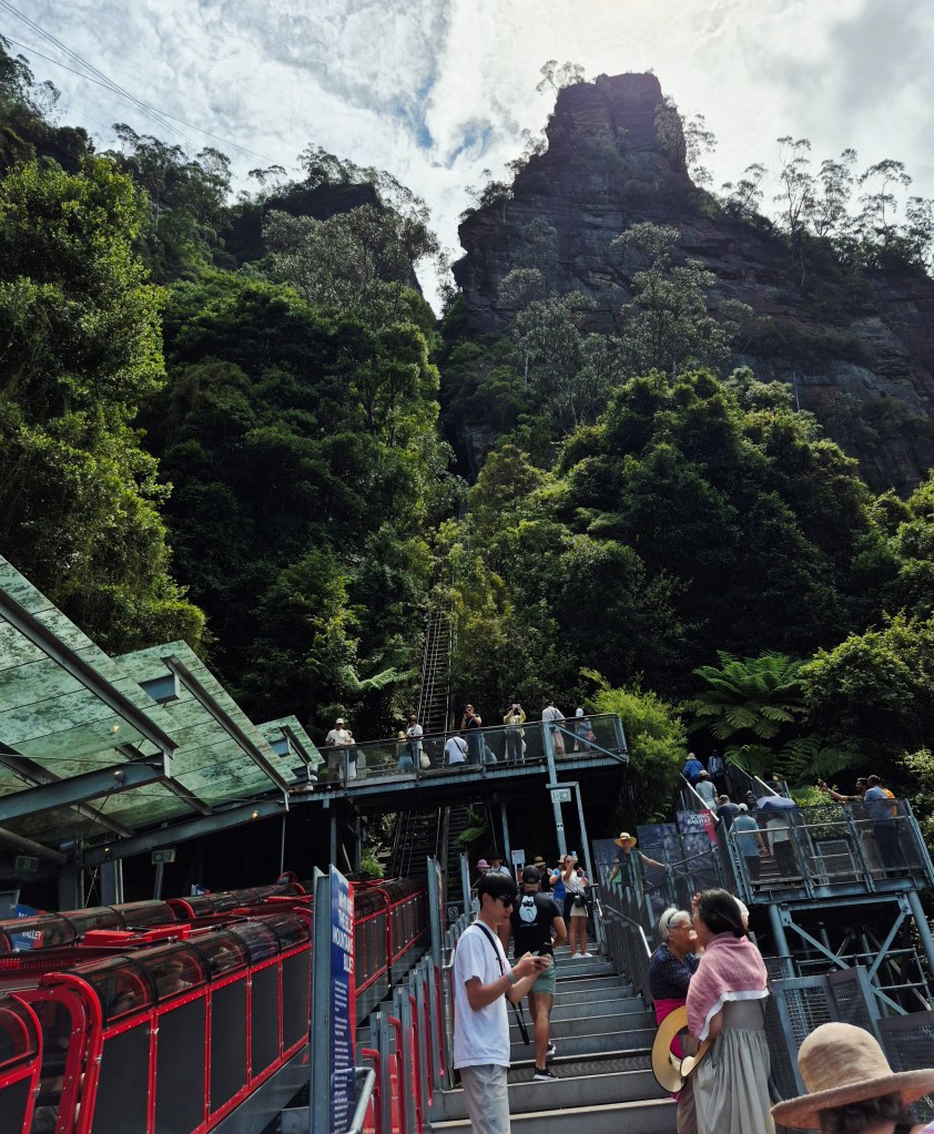
We disembarked at the bottom station on the Scenic Railway (above).
Looking up from the bottom station on the Scenic Railway.

We were now at the Scenic Walkway (in green on the diagram).
The Dictionary of Sydney said there used to be a system of tramways, crossing valleys on suspension bridges and wooden trestles. Tourists posed (above) on a reconstruction of a tippler. But “Almost a century after the closure of the tramway, few relics remain. The bridges, railway and other structures associated with the tramway have disappeared, leaving only a small number of yellowing photographs in libraries, archives and personal photographic collections.”
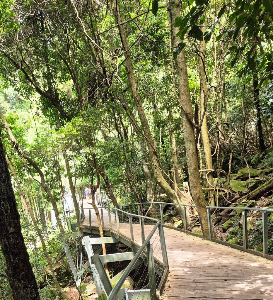
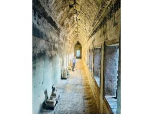
We walked along the Scenic Walkway for about 10 minutes to get to the Scenic Cableway. The walk was through rainforest, amongst the tall shady eucalypts, the rough cool rock, and the birds singing just out of sight. There was high humidity. I highly recommend this walk. The photo above doesn’t do it justice.
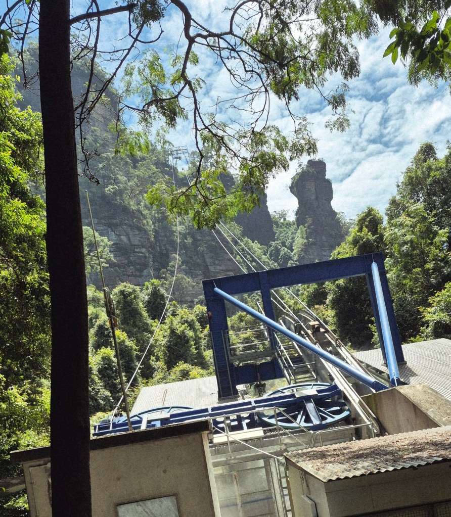
We came to the bottom station of the Scenic Cableway.
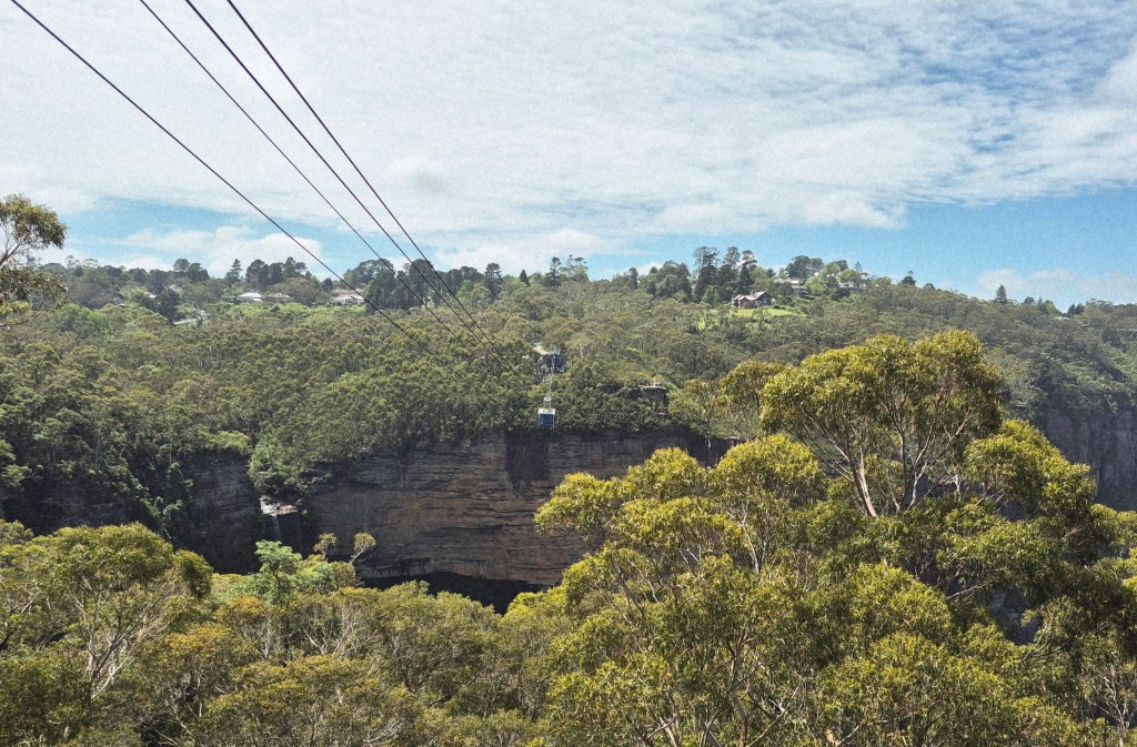
Wikipedia said “In 2000, Scenic World installed the Sceniscender, it is now called Scenic Cableway, 84-passenger cable car from Doppelmayr that passes over a 25-metre-high (82 ft) tower on the edge of the cliff, and then 510 metres (1,673 feet) to the Botton Station in the Jamison Valley 200 m (656 ft) below”.
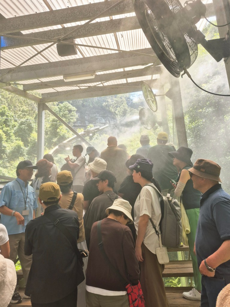
We waited in line to board the Scenic Cableway. A fine water spray (above) was produced by overhead nozzles to keep the patrons cool.
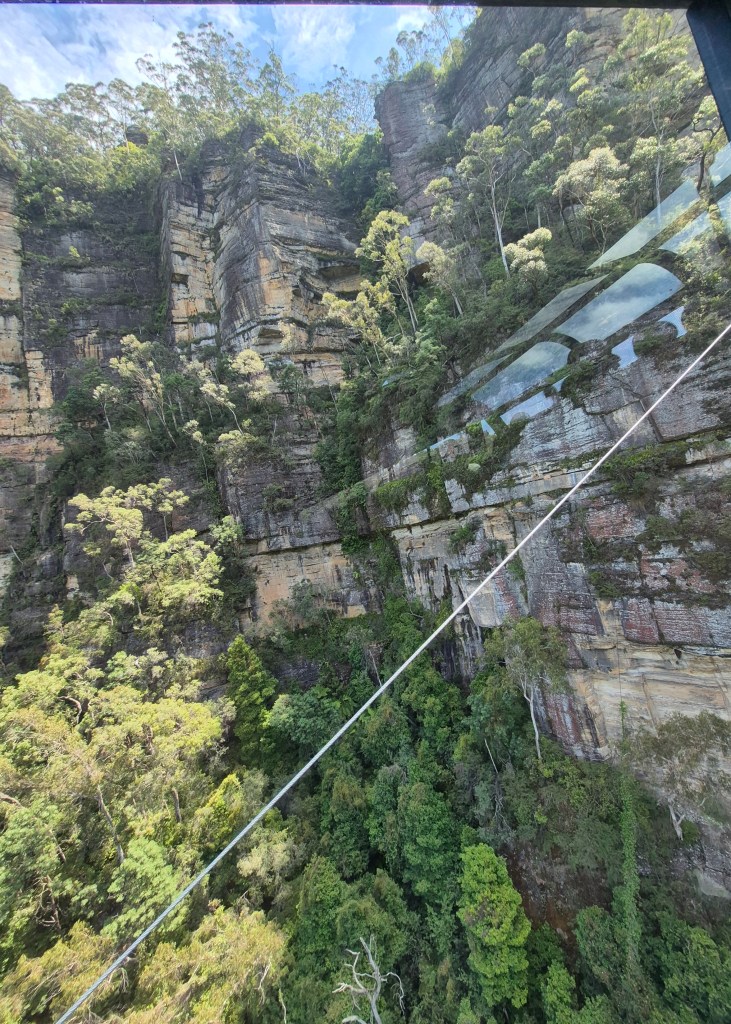
After a few minutes we boarded the Scenic Cableway and started upwards. There were spectacular views as we ascended.
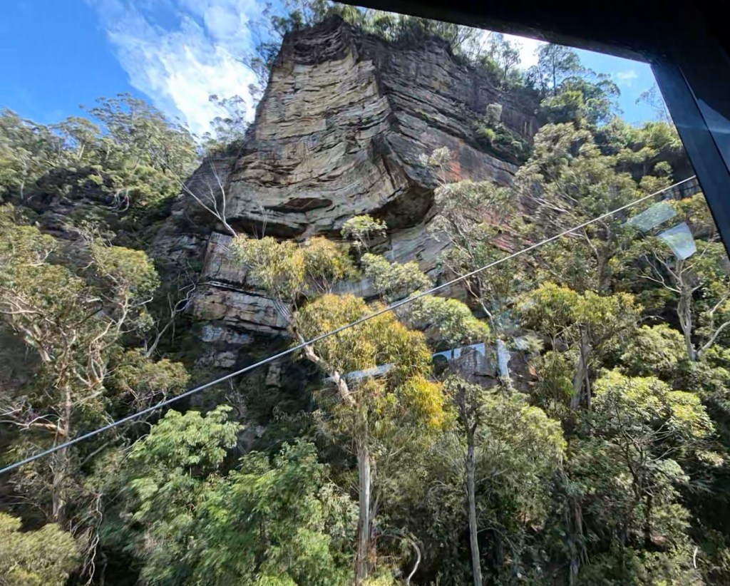
What a view! This was my favourite part of the trip.
We ascended into the same Scenic World building, right alongside the Scenic Railway and the Scenic Skyway.
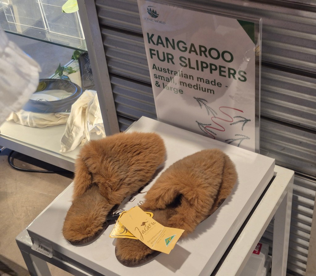
While walking through the gift shop, I saw these slippers, made out of kangaroo fur….
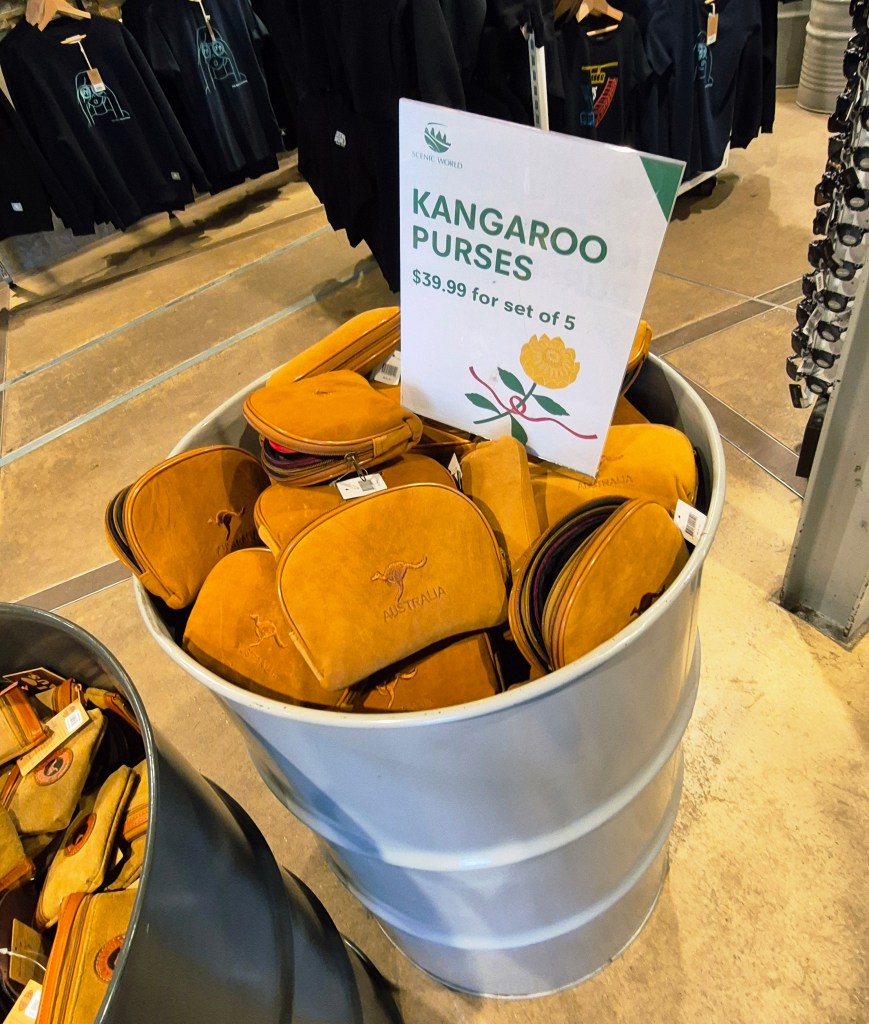
… and kangaroo purses, made from the animals’ skin. Australians are not sentimental about such things.
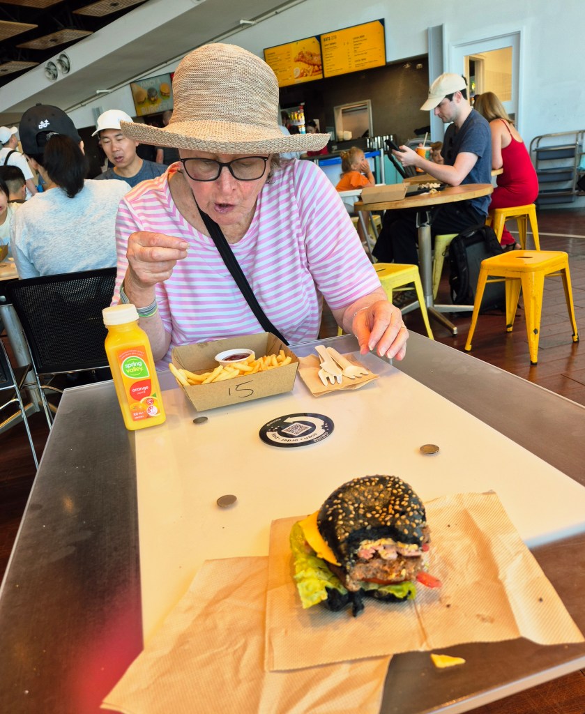
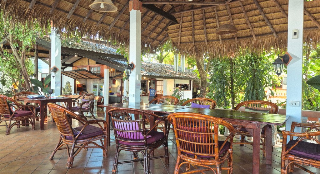
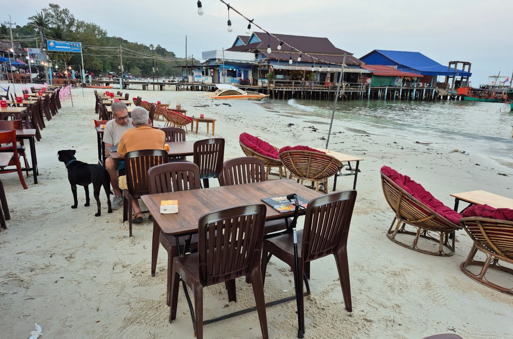
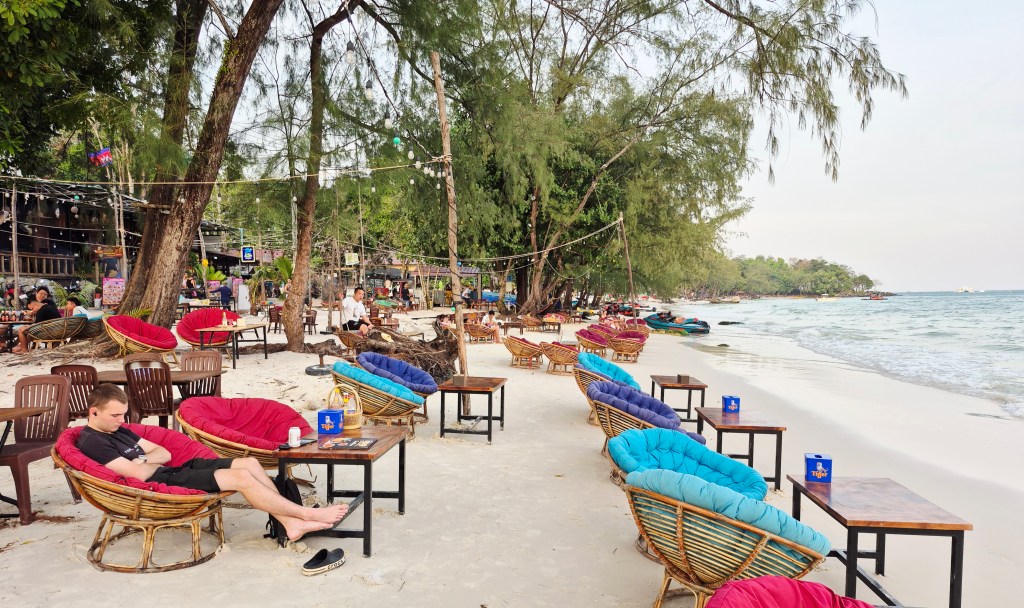
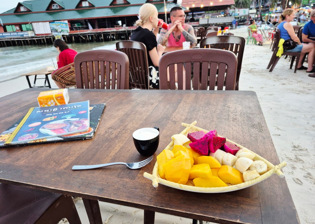
While we waited for the Blue Mountains Explorer bus, my mother and I had lunch in the cafeteria (above). I think my hamburger cost around $AUD 23 (NTD 460).
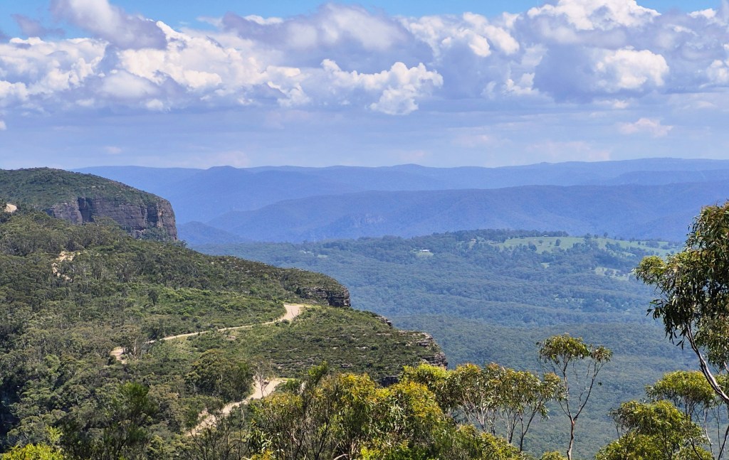
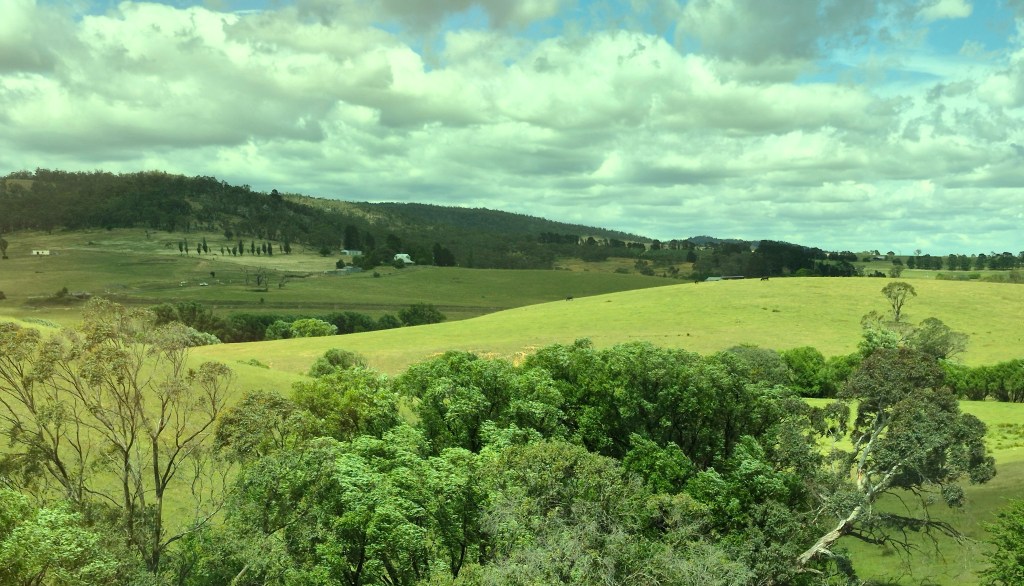
On the bus we went a circuitous route, with occasional magnificent scenery. This was a view of Narrowneck with the Megalong Valley.

The bus dropped us off directly outside Leura Station (above), where we caught a train to Central Station and home.