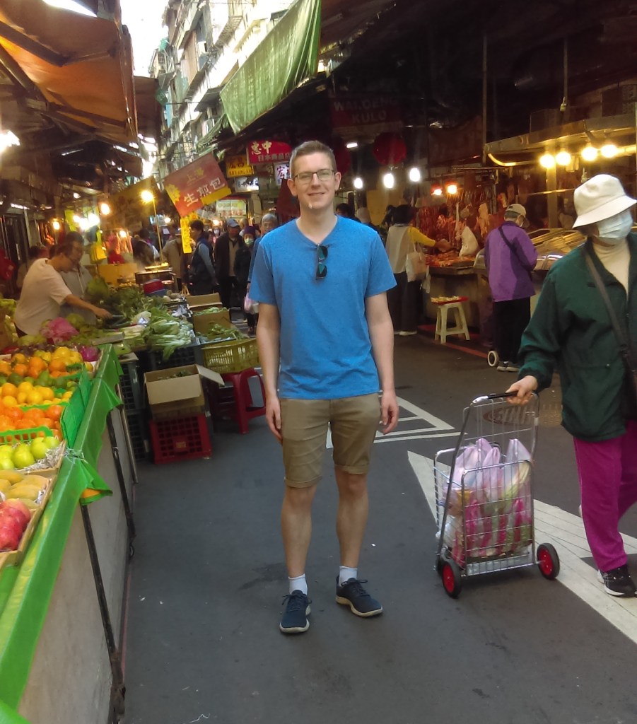
April 26, 2024
Teacher Du (杜老師)arranged for us to go on an excursion to Sānxiá Old Street (三峽老街).

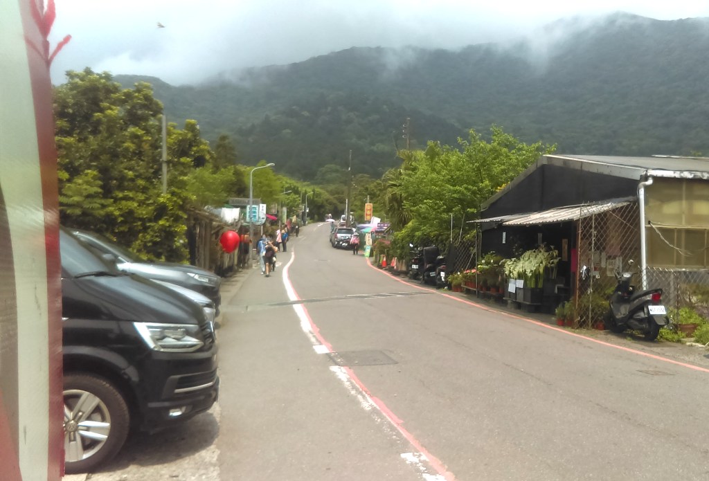
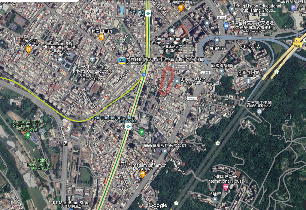
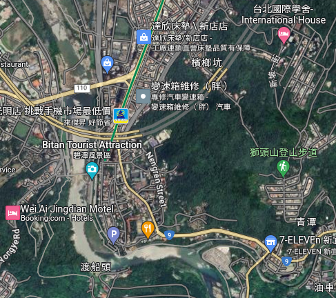
I’ve marked the location on Google Maps. It’s in the south-west, beyond the MRT. International House, my home in Taipei, is on the very right-hand corner of the Map, about half-way down.

On my way to the meeting point, on the MRT Blue Line train. Note how many of the people use masks. I think it’s not from any lingering COVID19 fear, but concern for being in a confined space with many other people who might cough on you.
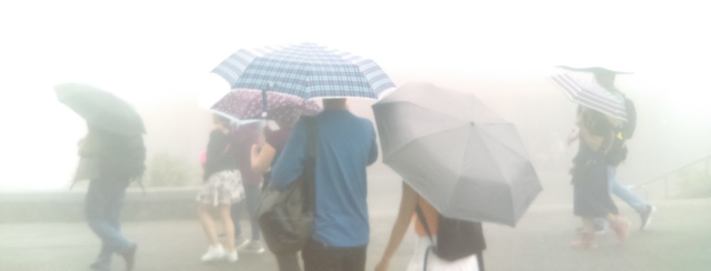
On leaving the terminal MRT station it was raining furiously, a real tropical downpour. The temperature was 23 degrees, cold for Taipei at this time of year. Outside I ran into three young men who I’d taken classes with before. I was going to get a taxi from the taxi rank nearby, so I offered to give them a lift free of change. They accepted, and one of them helped me climb into the taxi.
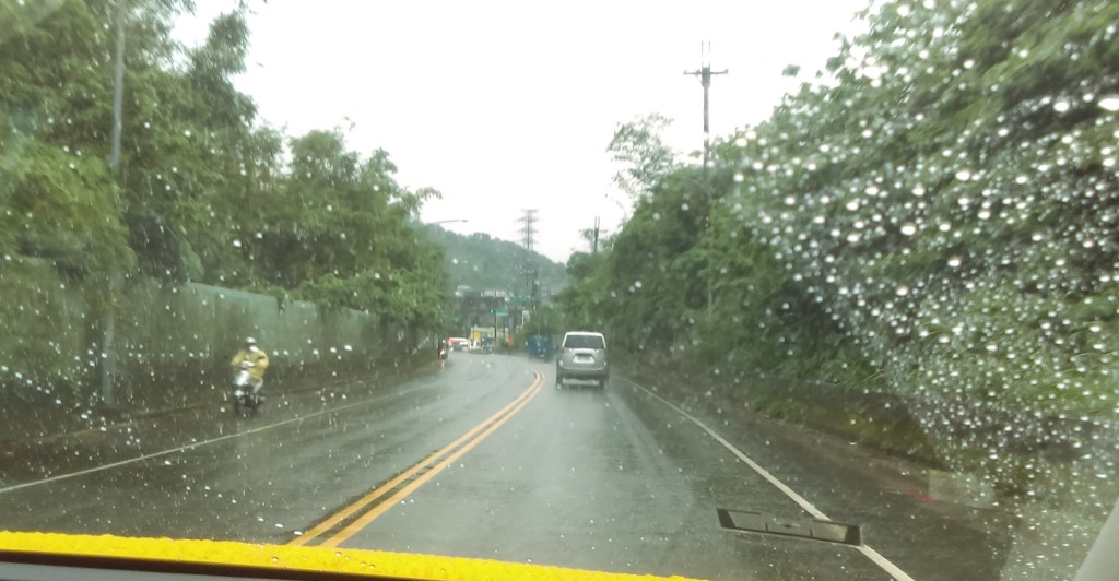
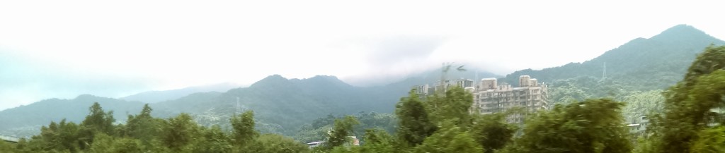
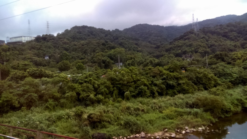
On the road to Sanxia, a view out the passenger’s windscreen. My impression of the journey was of jungle-covered hills mixed in with skyscraper residential buildings. No trace of suburbia here!
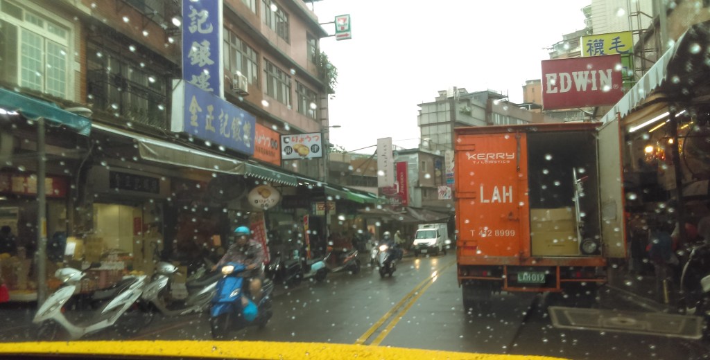
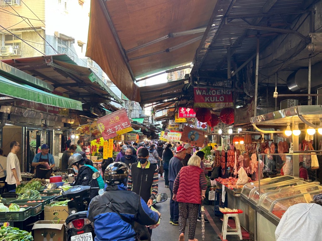
We passed through increasingly built-up areas (above) and into Sanxia. It was a bustling area, full of restaurants. Trucks stopped in the street, regardless of parking signs. We were close to Sanxia Old Street.

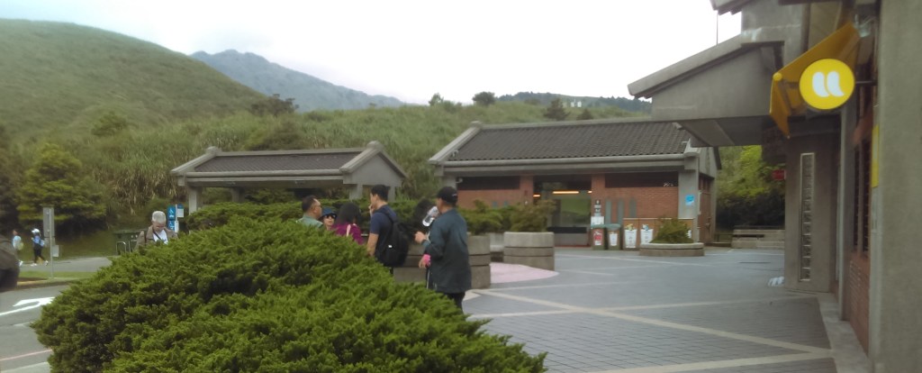
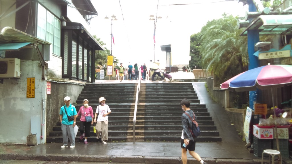
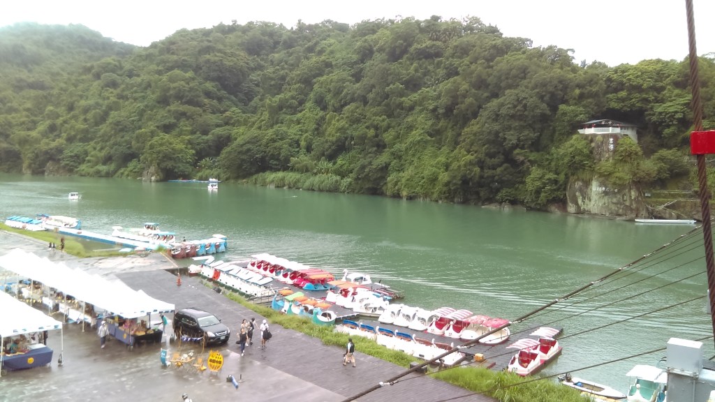
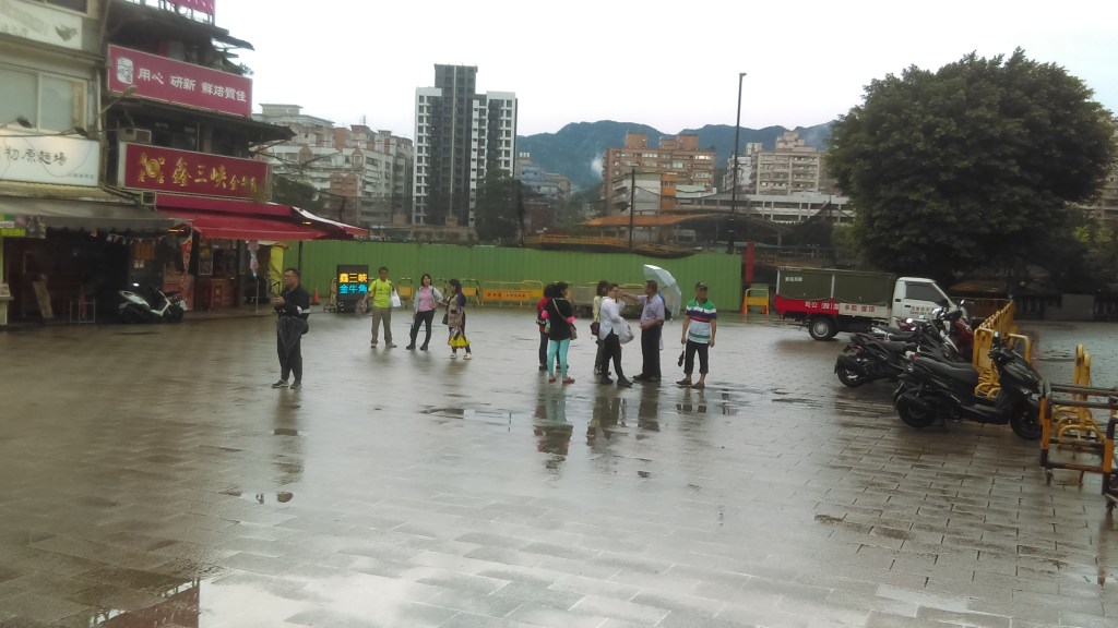
Sanxia Old Street, right where our taxi stopped. I paid the driver 245元, about $AUD12.50. Sanxia Old Street is within walking distance from Sanxia. Sanxia Old Street starts immediately to the right just out of shot, while Zǔ Shī Temple, our meeting place, was just out of shot to the left. The street ends in the Sanxia River (三峽河), not a river but an estuary, obscured by the big truck.

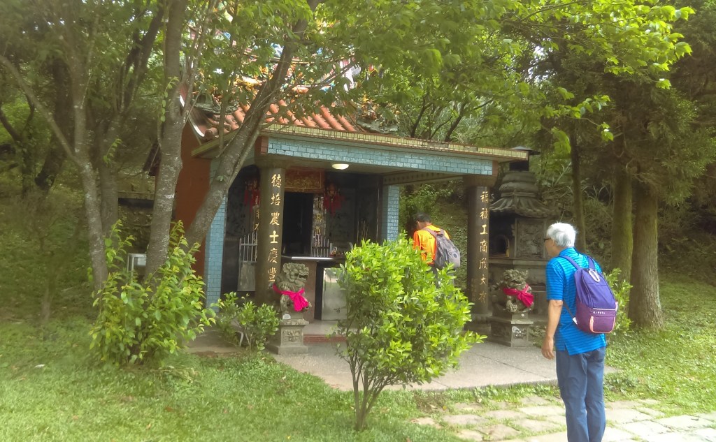
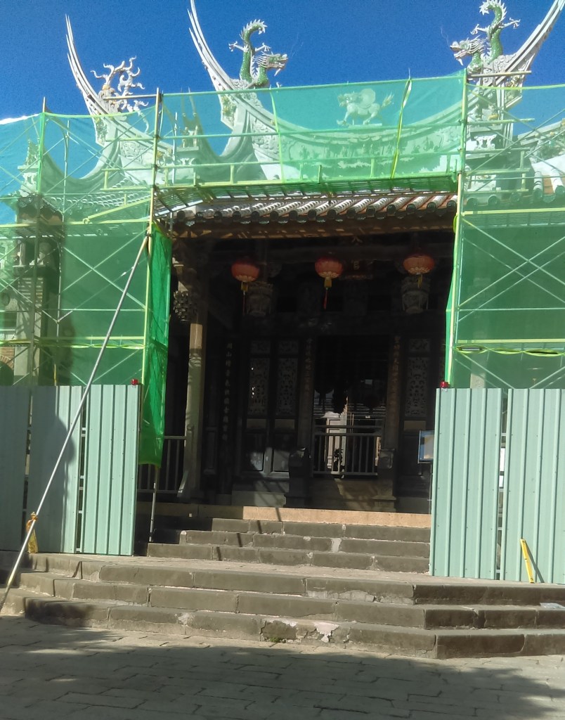
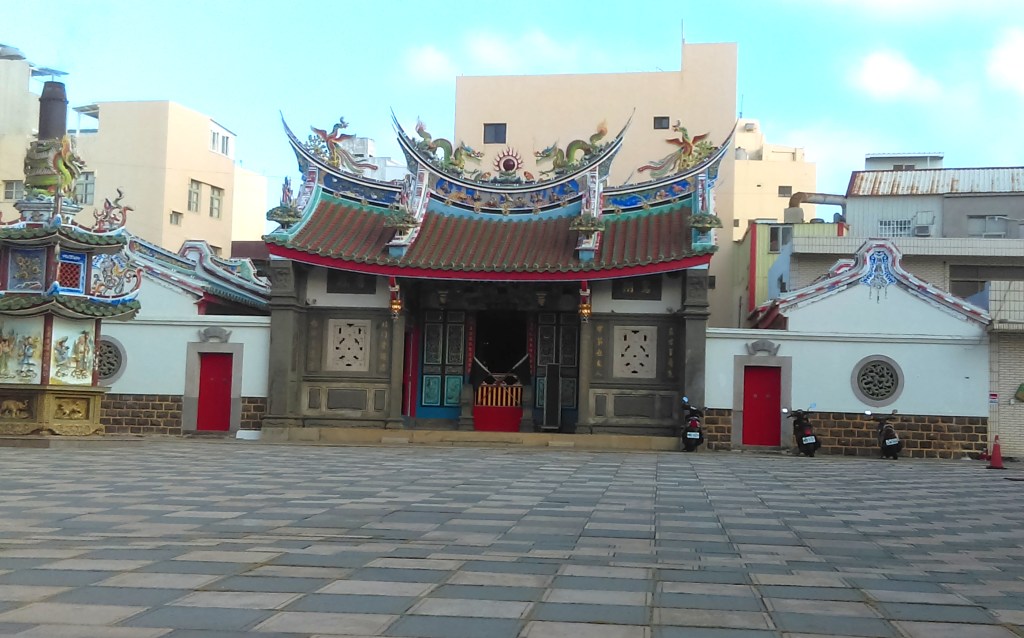
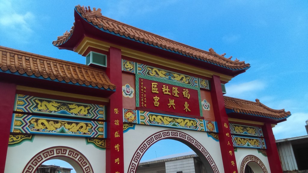
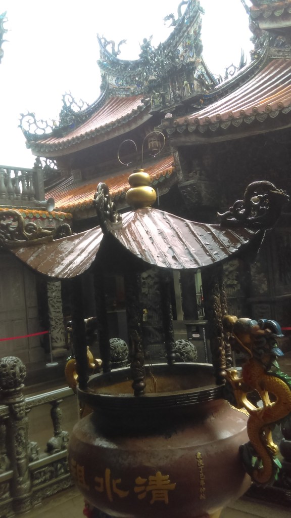
We walked down only a few dozens of meters, turned a corner, and was in front of Sānxiá Qingshui Zǔshī Temple (三峽祖師廟, above). It was still raining, so one of the young men obliged me by taking some photos – the above photo could well be by him. Then the young men excused themselves and vanished, and I saw no more of them that day.
I took this on the front steps, looking to where the previous photo had been taken. In the middle distance, in front of the high-rise buildings, is the Sanxia River.

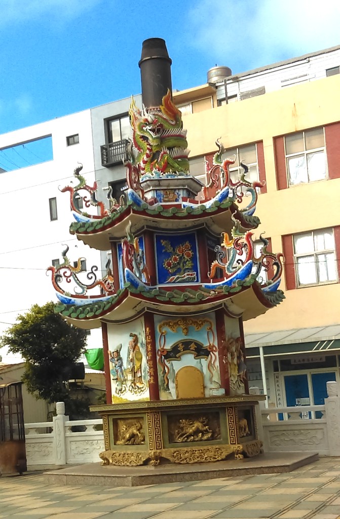
While I was waiting for the group I explored the temple (above). Travel to Taiwan (the Taiwan Tourist Administration website) says “Qingshui Zushi (Qingshui Master) Temple was built in 1769. The temple was destroyed by an earthquake in 1833 and was rebuilt in 1867. However, during 1895, it was burned down by the Japanese army. After World War II, the restoration was led by the renowned artist Li Mei Shu. The restored temple presents refined carvings and sculptures and it is the work of Taiwanese artists.”

There is an entry in Wikipedia, but the temple is called the Changfu Temple. Wikipedia notes that in this temple Master Qingshui is the main deity and is known regionally as Zushi Gong (袓師公). Both of the entries record this as being a Daoist temple; the Chinese character 廟, “miào”, “temple”, denotes both a Buddhist or a Daoist temple.

The Changfu Temple article in Wikipedia says “Every sixth day of the first month of the Chinese lunar calendar on Zushi-Gong’s birthday, Changfu Temple holds a sacred pig (神豬 …) contest. Farmers would compete by raising the largest pig, which during the competition day, the pig is decorated with ornaments. The largest pig will then be sacrificed to the mountain deities, then the meat will be distributed among the devotees. In the past few years, this tradition has been met with objection by animal rights activists. While the majority of temples that practice this rite have started using symbolic pigs, Changfu Temple in Sanxia still continues the tradition of using an actual pig.” Indeed, one of the postings for Google’s Qingshui Zǔshī Temple was headed “Please, please ‘Stop’ the Magic Pig Weight Contest”.

Eventually we gathered together. It was a multicultural group. There was Teacher Du, a Taiwanese man, and our students – a Japanese man; an Italian woman; a Vietnamese woman; a man from the Caribbean; and an Australian man (me).

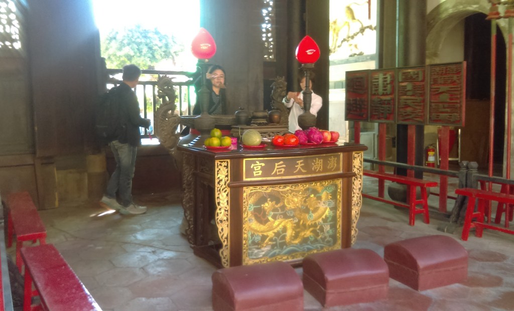
We were joined by a tour guide, and shown around the temple.

The tour guide’s explanation was in English, though I think Teacher Du’s English was better – although he spoke only in Chinese.

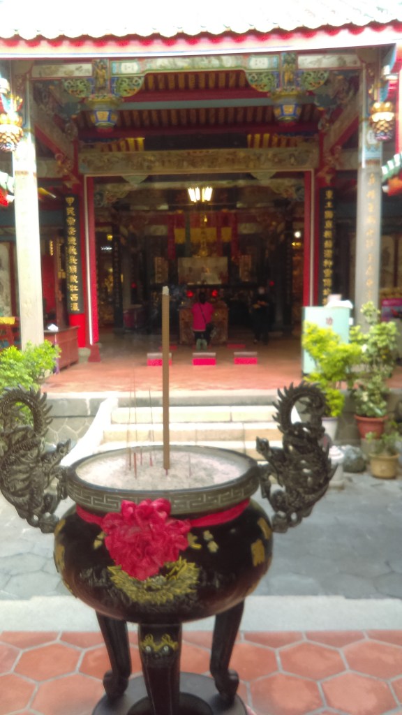
The inner sanctum.
It was about this point in time that my mobile phone, who I was using to take photos, signalled that it had no storage space left, so it wouldn’t be able to take new photos.
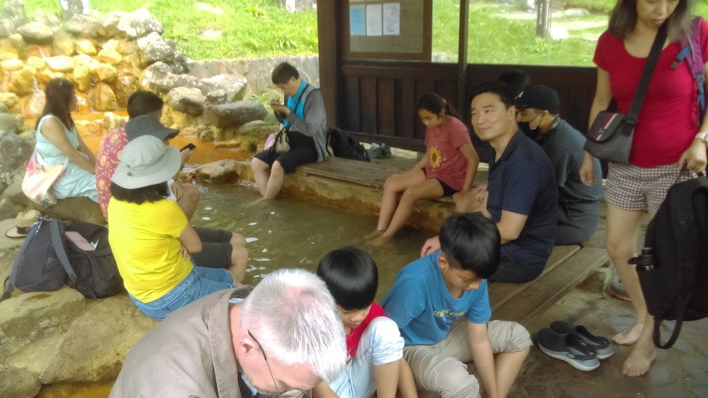
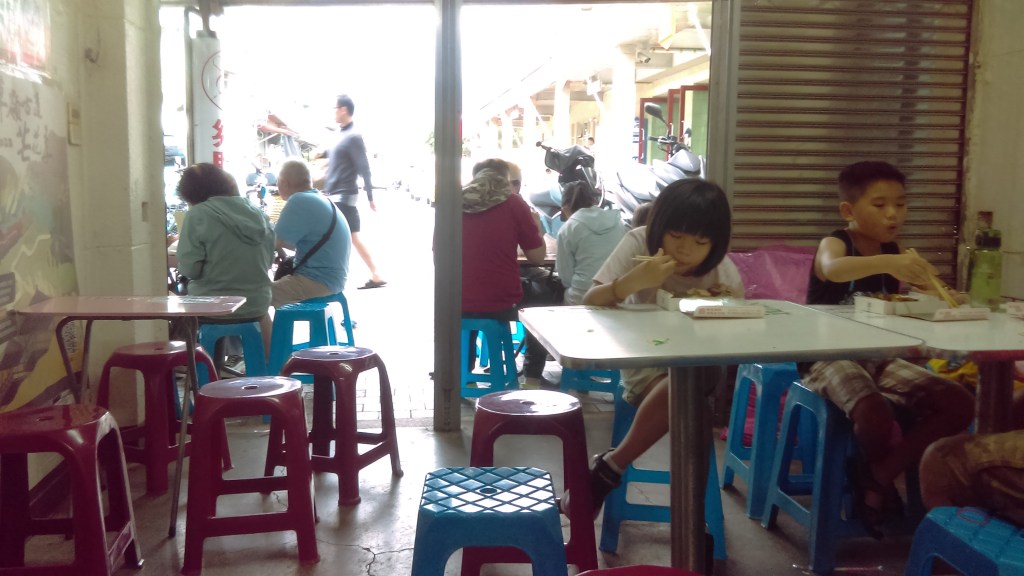
We went next to a tea shop, and were served several different varieties of tea. The shopkeeper didn’t speak English, so other students tried talking with her in Chinese. I couldn’t tell if it was a cultural engagement or a commercial transaction. One of our party bought some tea, so it was probably a little of both.

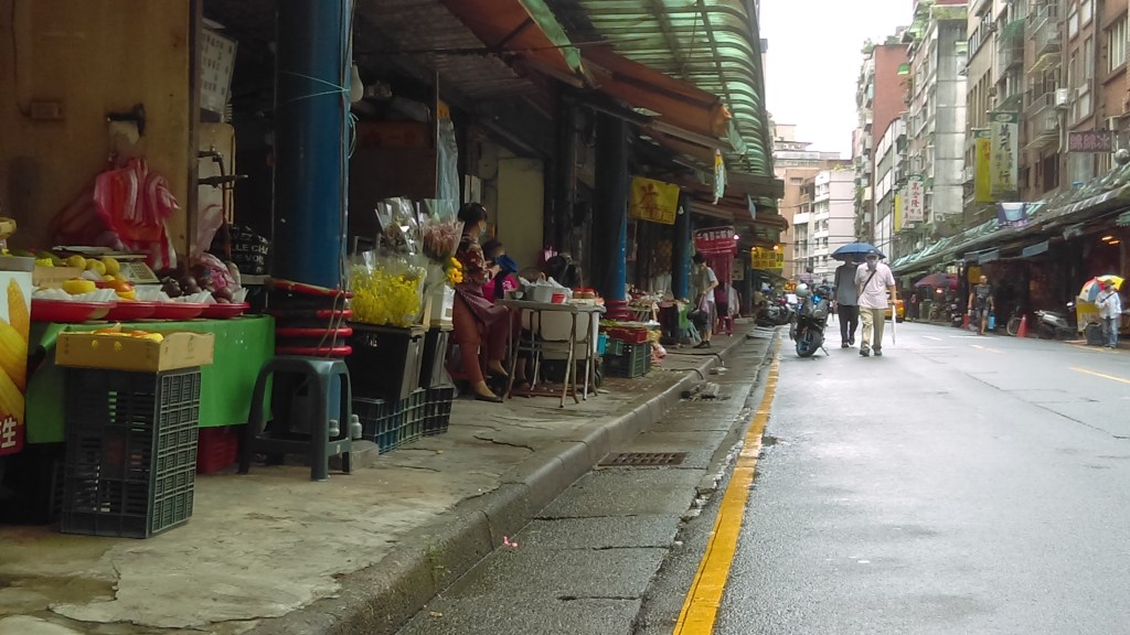
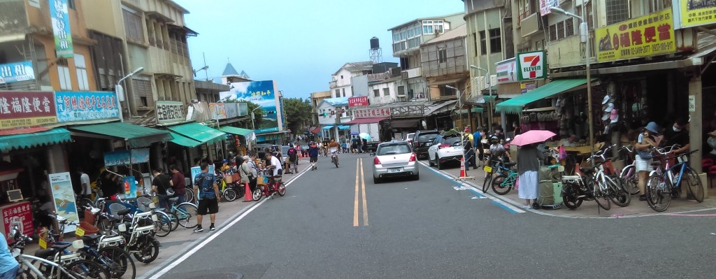
From the tea shop we walked a short way to Sanxia Old Street (三峽老街, above – taken when my phone still worked).
Undiscovered Taipei says “The old street has been a pivot of commercial activities since the Qing dynasty as the distribution center of many commodities and raw materials. This area was transformed into a neat, dazzling place after an overhaul [i.e. burned down] during the Japanese rule. In previous years, Sanxia Old Street was packed with stores selling tea, dyed cloth and camphor. The glory of this town was manifested by many examples of architecture built in a western style during this period. The 260 meter-long old street area on Mingquan Street has over 100 antique houses, which make Sanxia a great destination for people who want to see archways in Baroque style, innovative traditional craftsmanship, and a busy business area from over 100 years ago. Sanxia Old Street these days is as busy as in its golden age. When you walk in the red-brick arcade, you can see old stores named after family names, which was a common practice in the past.”
The YouTube clip above gives a good impression of the area surrounding Sanxia Old Street. The clip is one take, without voice-over, wandering (presumably on foot) through the area.
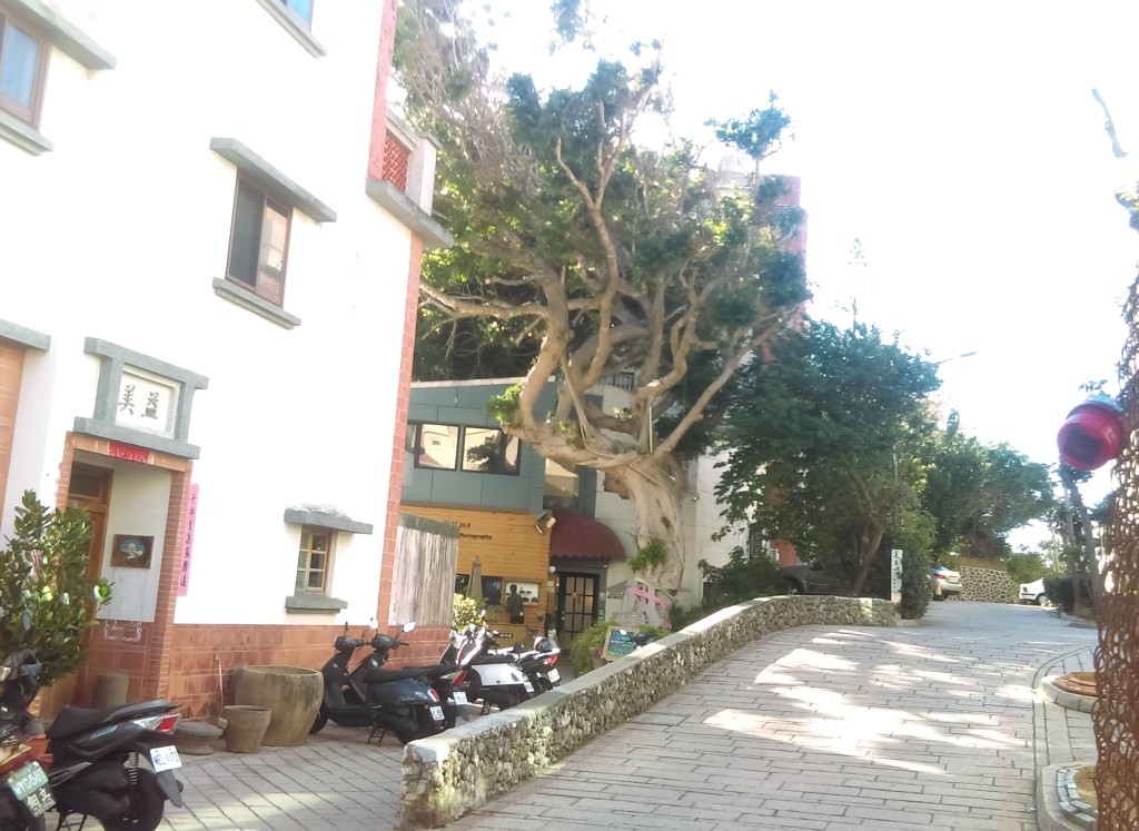
The tour guide took us to a narrow alley parallel to Sanxia Old Street, which she said was the real Sanxia Old Street. The alley’s width was two or three times smaller than the official Sanxia Old Street, much too narrow. The tour guide showed us holes in the brickwork of a house, which she said were emplacements for rifles. Evidently this was a more dangerous time.
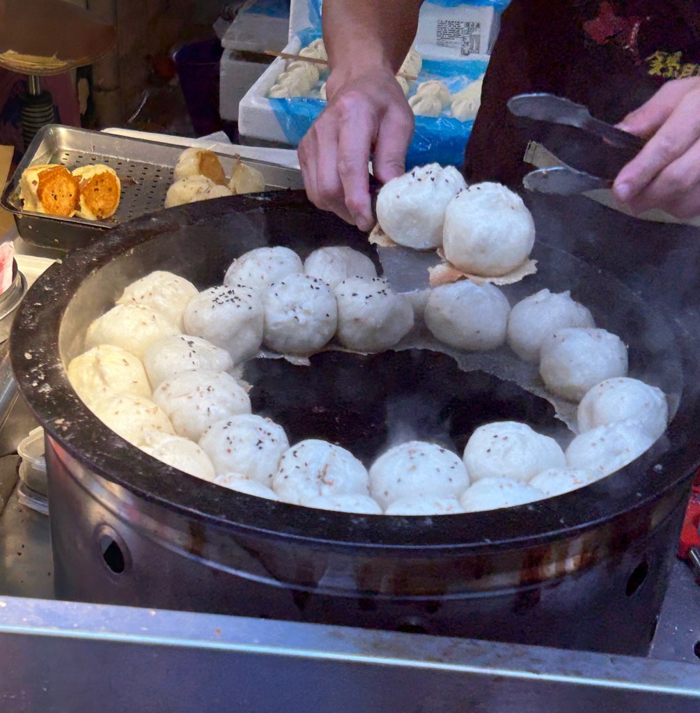
We emerged on Sanxia Old Street. My impression was a street wholly devoted to tourism, with none of the day-to-day business real roads require. Undiscovered Taipei says “Stores selling cold drinks, calligraphy brushes, sweets, antiques, old-fashioned toys, furniture and snacks, all have a historic look, unlike their counterparts in other tourist destinations. Sanxia has a lot of gourmet food, including Jinnujia which is a kind of bread that gives out a strong fragrant smell and A-Laibo soy pudding which has an unforgettably smooth texture made by mountain spring water. Hengxi Q Chinese meatball next door is also a good choice because its special texture of stuffing with bird eggs. All the snacks sold in Sanxia Old Streets are worth trying because they are delicious but at reasonable prices.” Unfortunately I didn’t try any of them.
By now I was feeling very tired, so I told Teacher Du I had to go, and paid 102元 (about $AUD5) to cover the fee of the tour guide. Then I walked back through Sanxia looking for a taxi. I forgot the name of the MRT station, which was a problem. Fortunately, I came across a main road – with buses! A bus swiftly carried me to the MRT network and so home.